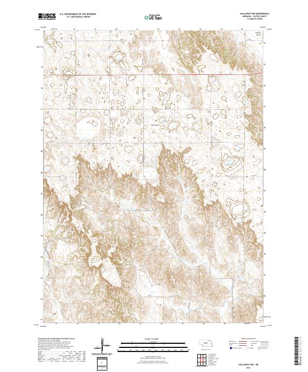
2021 Map of Callaway NW
USGS Topo · Published 2021About this map
West Table dominates the central portion of this Custer County landscape, illustrating the distinct plateau-and-canyon topography characteristic of this part of Nebraska. The area is defined by a grid of rural routes such as Cliff Table Rd and Fairview Rd, which connect remote homesteads across the varied terrain. In the northeast, Ortello Valley provides a break from the higher elevations, while the southwestern corner is marked by the steep descents of Pine Canyon. This 2021 survey by the U.S. Geological Survey shows a modern drainage system led by Spring Cr, which snakes through the south-central sections. The map preserves the township and range divisions, such as t17n r23w, which remain the fundamental framework for land ownership and agricultural planning in this region.
Find a feature on this map
31 named features on this map. Tap any name to fly to it.
Don’t see what you’re looking for? This feature index may not catch every label — zoom into the map to look around manually.
Map Details
Editions of this 2021 Callaway NW Map
This is the sole edition of this map. No revisions or reprints were ever made.
Other maps of this area

1948 · Linscott
USGS Topo · 1:62,500

1950 · Linscott
USGS Topo · 1:62,500

1951 · Callaway NW
USGS Topo · 1:24,000

1951 · Anselmo
USGS Topo · 1:24,000

1951 · Merna
USGS Topo · 1:24,000

1951 · Anselmo SW
USGS Topo · 1:24,000

1951 · Callaway SE
USGS Topo · 1:24,000

1951 · Callaway
USGS Topo · 1:24,000

1954 · North Platte
USGS Topo · 1:250,000

1955 · Broken Bow
USGS Topo · 1:250,000