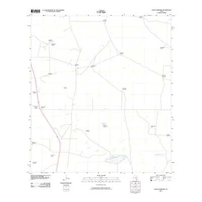
2010 Map of Callo Padrones
USGS Topo · Published 2010About this map
Huisaches Altos Ranch serves as a lone residential marker in this expansive ranching and oil-producing landscape of South Texas. The geography is defined by a sparse network of service roads connecting vital resources, including the Santa Fe Oil Field and the South Santa Fe Oil Field. Water management is central to the land's utility, evidenced by a series of named water-drawing sites such as Los Cuervos Windmill, Cuatro Esquinas Windmill, and Lagunitas Windmill. The terrain is partitioned into significant grazing areas like Maguelles Pasture and Padrones Pasture, while the namesake Callo Padrones and El Callo provide the primary hydrographic features. Along the western edge, Route 281 provides the main arterial connection through this region of Hidalgo County, passing by specialized enclosures like the Huisaches Trap.
Find a feature on this map
25 named features on this map. Tap any name to fly to it.
Don’t see what you’re looking for? This feature index may not catch every label — zoom into the map to look around manually.
Map Details
Editions of this 2010 Callo Padrones Map
This is the sole edition of this map. No revisions or reprints were ever made.
Other maps of this area

1922 · La Sal Vieja
USGS Topo · 1:62,500

1923 · Armstrong
USGS Topo · 1:62,500

1939 · Linn
USGS Topo · 1:62,500

1949 · Mc Allen
USGS Topo · 1:250,000

1953 · Brownsville
USGS Topo · 1:250,000

1954 · McAllen
USGS Topo · 1:250,000

1956 · Pita Camp
USGS Topo · 1:24,000

1956 · Julian
USGS Topo · 1:24,000

1956 · Andrea Ranch
USGS Topo · 1:24,000

1956 · La Sal Vieja
USGS Topo · 1:62,500