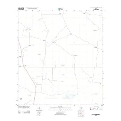
2012 Map of Callo Padrones
USGS Topo · Published 2012About this map
The vast grazing lands of Hidalgo County dominate this landscape, characterized by named pastures and the vital water infrastructure that supports them. Maguelles Pasture, Quiteria Pasture, and Santa Fe Pasture define large tracts of this ranching country, where the location of water is meticulously noted. Numerous windmills, such as Dos Pilas Windmill, Los Cuervos Windmill, and Catanes Windmill, are scattered across the terrain, indicating the historical and functional importance of groundwater in this semi-arid region.
Find a feature on this map
26 named features on this map. Tap any name to fly to it.
Don’t see what you’re looking for? This feature index may not catch every label — zoom into the map to look around manually.
Map Details
Editions of this 2012 Callo Padrones Map
This is the sole edition of this map. No revisions or reprints were ever made.
Other maps of this area

1922 · La Sal Vieja
USGS Topo · 1:62,500

1923 · Armstrong
USGS Topo · 1:62,500

1939 · Linn
USGS Topo · 1:62,500

1949 · Mc Allen
USGS Topo · 1:250,000

1953 · Brownsville
USGS Topo · 1:250,000

1954 · McAllen
USGS Topo · 1:250,000

1956 · Pita Camp
USGS Topo · 1:24,000

1956 · Julian
USGS Topo · 1:24,000

1956 · Andrea Ranch
USGS Topo · 1:24,000

1956 · La Sal Vieja
USGS Topo · 1:62,500