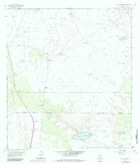
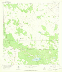
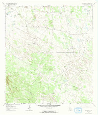
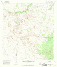
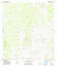
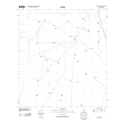
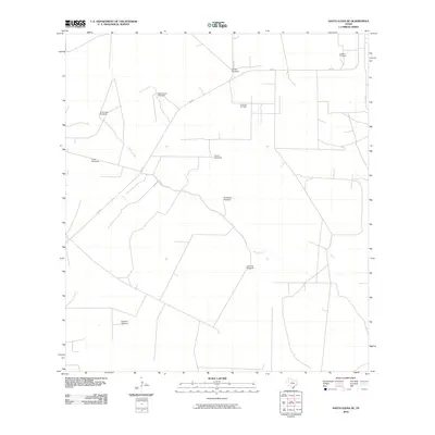
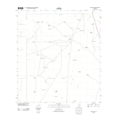
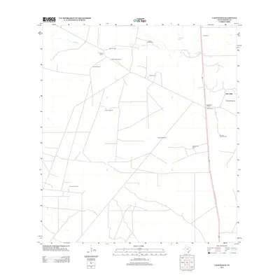
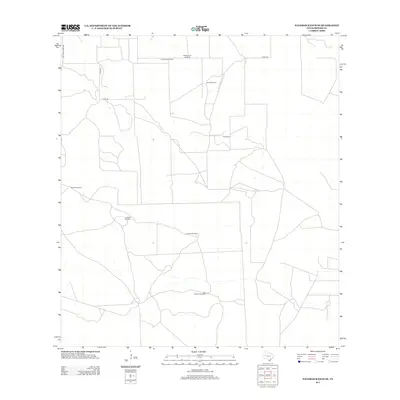
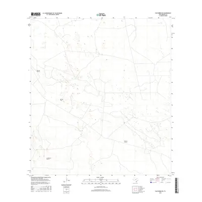
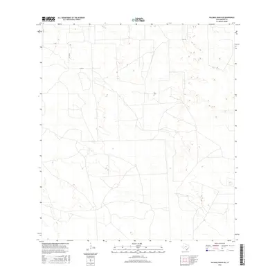
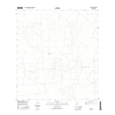
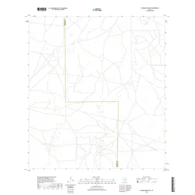
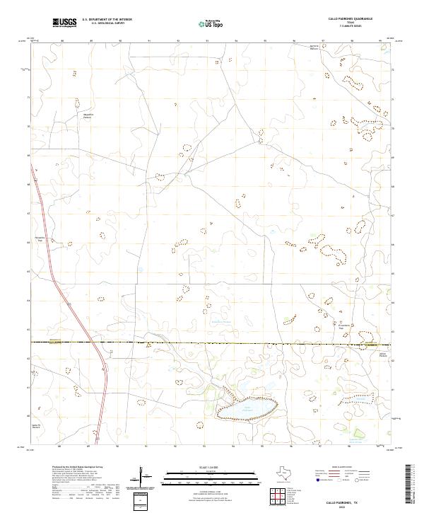
1963 Map of Callo Padrones
USGS Topo · Published 1983About this map
Large-scale ranching and petroleum extraction define this South Texas landscape across the Brooks Co Hidalgo Co line in the early 1960s. The terrain is organized into expansive, named grazing lands including Maguelles Pasture, Padrones Pasture, and the El Aceitero Trap. Life in this arid brush country is anchored by a dense network of water sources, from the Jassos Gate Windmill and Cuervos Windmill to specialized flowing artesian features like the Viboras Well (flowing) and Padrones Well (flowing).
Find a feature on this map
36 named features on this map. Tap any name to fly to it.
Don’t see what you’re looking for? This feature index may not catch every label — zoom into the map to look around manually.
Map Details
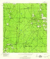
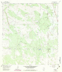
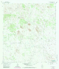
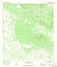
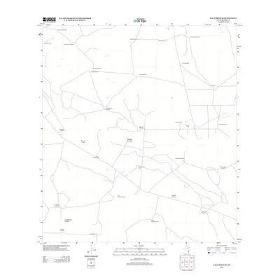
Editions of this 1963 Callo Padrones Map
2 editions found
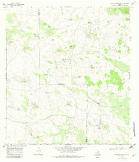
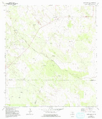
Historical Maps of Hidalgo County Through Time
67 maps found
1939 Encantada
Brooks County, TX
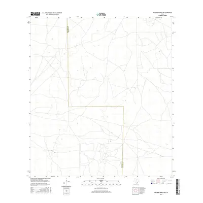
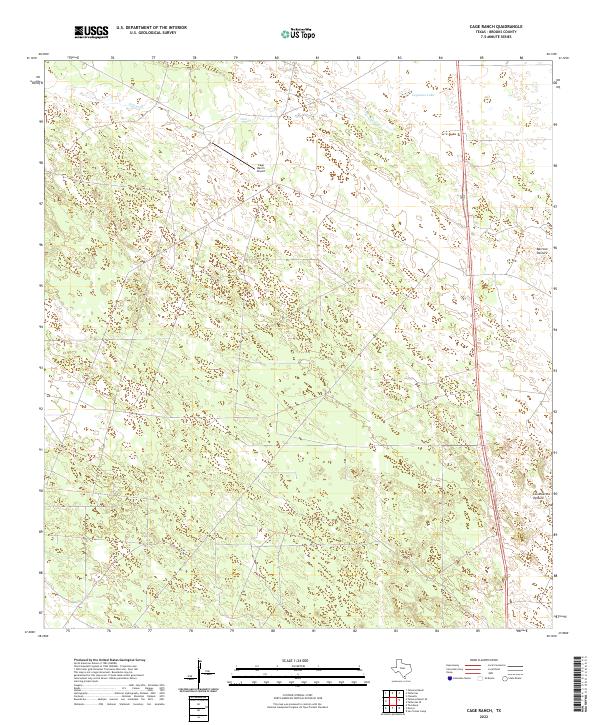
1963 Cage Ranch
Brooks County, TX
1963 Callo Padrones
Brooks County, TX
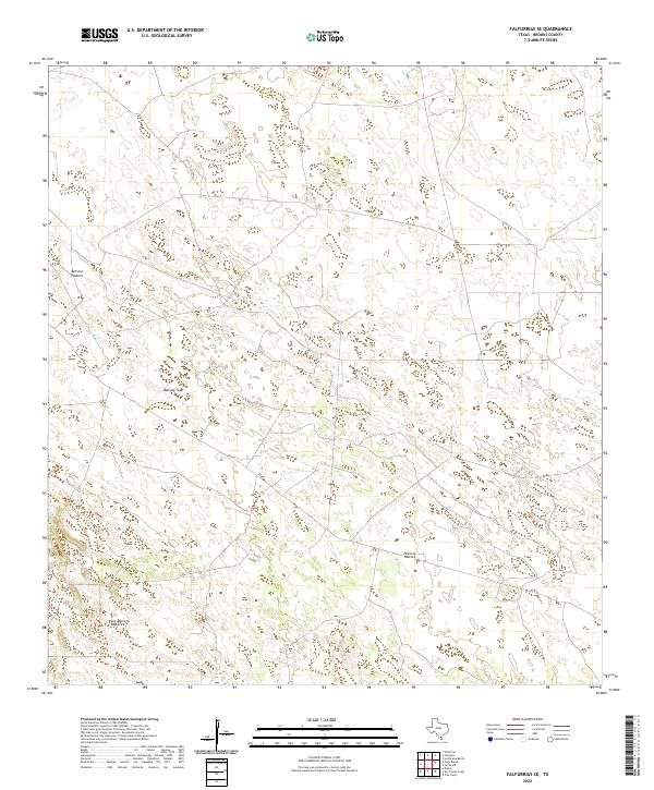
1963 Falfurrias SE
Brooks County, TX
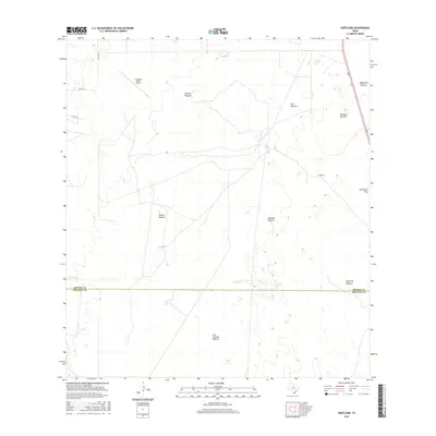
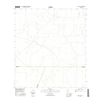
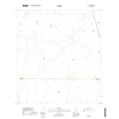
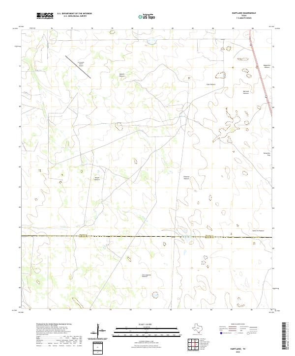
1963 Hartland
Brooks County, TX
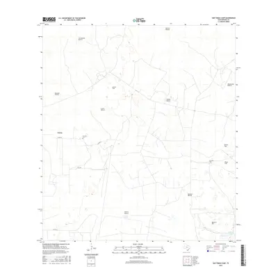
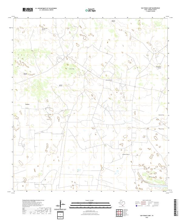
1963 San Tomas Camp
Brooks County, TX
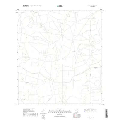
1968 Palomas Ranch
Brooks County, TX
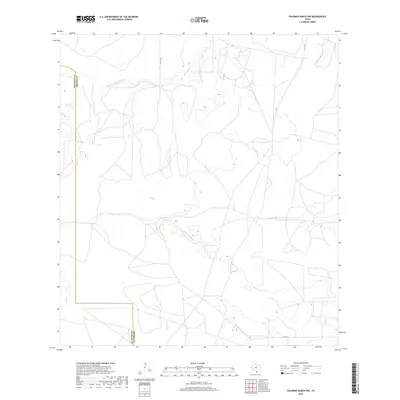
1968 Palomas Ranch NW
Brooks County, TX
1968 Palomas Ranch SE
Brooks County, TX
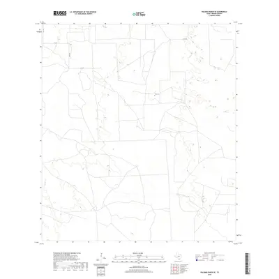
1968 Palomas Ranch SW
Brooks County, TX
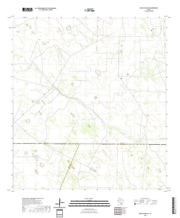
1972 Santa Elena SE
Brooks County, TX
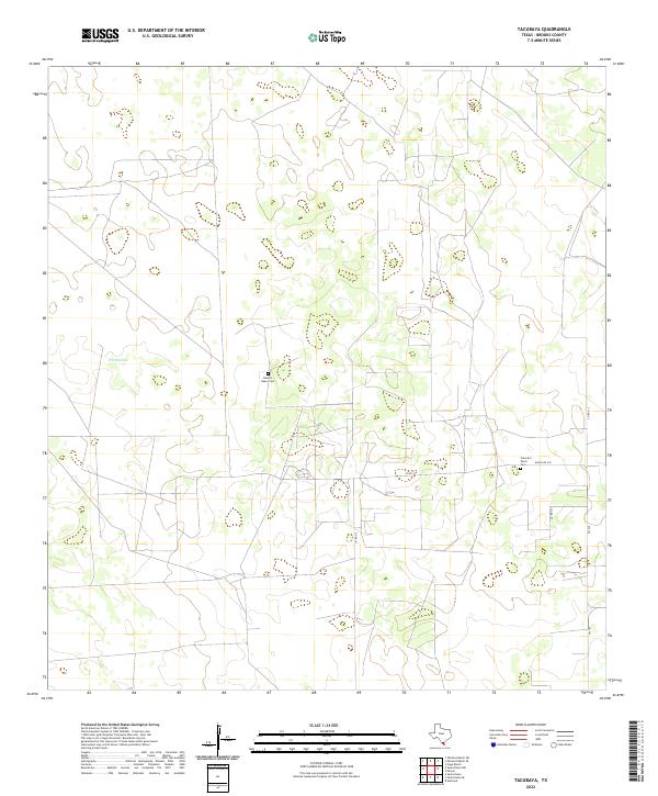
1972 Tacubaya
Brooks County, TX
2010 Cage Ranch
Brooks County, TX
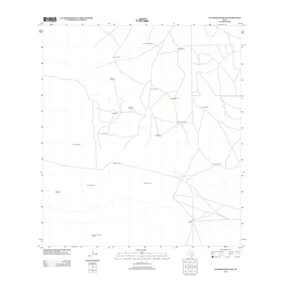
2010 Callo Padrones
Brooks County, TX
2010 Falfurrias SE
Brooks County, TX
2010 Hartland
Brooks County, TX
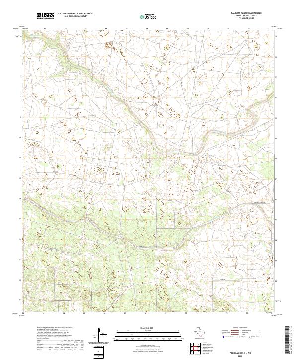
2010 Palomas Ranch
Brooks County, TX
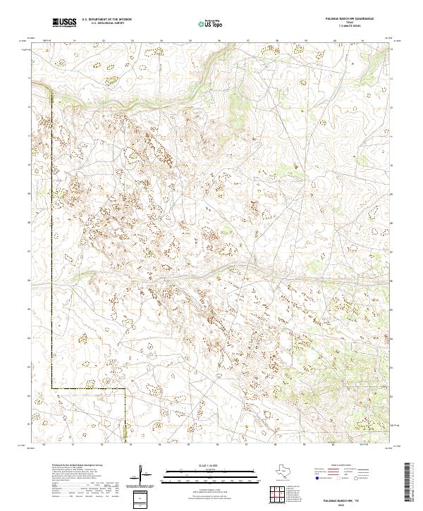
2010 Palomas Ranch NW
Brooks County, TX
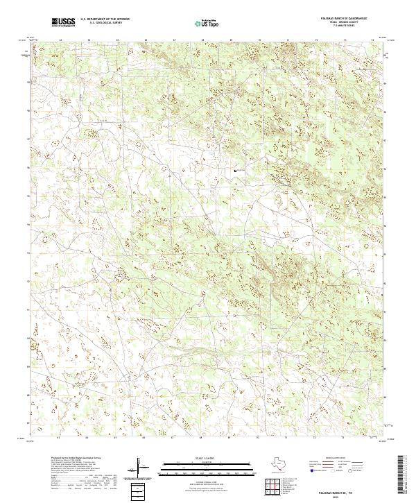
2010 Palomas Ranch SE
Brooks County, TX

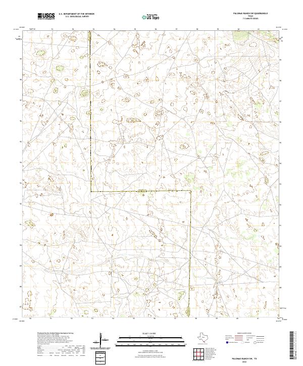
2010 Palomas Ranch SW
Brooks County, TX
2010 Santa Elena SE
Brooks County, TX
2010 San Tomas Camp
Brooks County, TX
2010 Tacubaya
Brooks County, TX
2012 Callo Padrones
Brooks County, TX
2012 Hartland
Brooks County, TX
2012 Santa Elena SE
Brooks County, TX
2012 San Tomas Camp
Brooks County, TX
2012 Tacubaya
Brooks County, TX
2013 Cage Ranch
Brooks County, TX
2013 Falfurrias SE
Brooks County, TX
2013 Palomas Ranch
Brooks County, TX
2013 Palomas Ranch NW
Brooks County, TX
2013 Palomas Ranch SE
Brooks County, TX
2013 Palomas Ranch SW
Brooks County, TX
2016 Cage Ranch
Brooks County, TX
2016 Callo Padrones
Brooks County, TX
2016 Falfurrias SE
Brooks County, TX
2016 Hartland
Brooks County, TX
2016 Palomas Ranch
Brooks County, TX
2016 Palomas Ranch NW
Brooks County, TX
2016 Palomas Ranch SE
Brooks County, TX
2016 Palomas Ranch SW
Brooks County, TX
2016 Santa Elena SE
Brooks County, TX
2016 San Tomas Camp
Brooks County, TX
2016 Tacubaya
Brooks County, TX
2019 Cage Ranch
Brooks County, TX
2019 Callo Padrones
Brooks County, TX
2019 Falfurrias SE
Brooks County, TX
2019 Hartland
Brooks County, TX
2019 Palomas Ranch
Brooks County, TX
2019 Palomas Ranch NW
Brooks County, TX
2019 Palomas Ranch SE
Brooks County, TX
2019 Palomas Ranch SW
Brooks County, TX
2019 Santa Elena SE
Brooks County, TX
2019 San Tomas Camp
Brooks County, TX
2019 Tacubaya
Brooks County, TX
2022 Cage Ranch
Brooks County, TX
2022 Callo Padrones
Brooks County, TX
2022 Falfurrias SE
Brooks County, TX
2022 Hartland
Brooks County, TX
2022 Palomas Ranch
Brooks County, TX
2022 Palomas Ranch NW
Brooks County, TX
2022 Palomas Ranch SE
Brooks County, TX
2022 Palomas Ranch SW
Brooks County, TX
2022 Santa Elena SE
Brooks County, TX
2022 San Tomas Camp
Brooks County, TX
2022 Tacubaya
Brooks County, TX