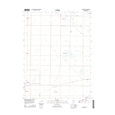
2015 Map of Calneva Lake
USGS Topo · Published 2015About this map
Honey Lake Valley is defined by its arid basins and seasonal water bodies in this 2015 U.S. Geological Survey representation. The settlement of Herlong sits in the southwestern corner, showing a distinct grid of streets including B St and C St near Magazine Rd, reflecting its proximity to the Sierra Army Depot. To the northeast, the smaller communities of Stacy and Calneva anchor a network of remote corridors like Turtle Mountain Rd and Connection Rd. Drainage is marked by the course of Skedaddle Creek, which feeds toward Duck Lake and the ephemeral Calneva Lake. Historically significant sites like the Honey Lake Cemetery are situated along Moore Rd, providing essential points of interest for genealogists tracing early families in this part of Lassen County. The landscape remains largely defined by the Public Land Survey System, with township and range lines clearly demarcating the open sagebrush and salt flats.
Find a feature on this map
30 named features on this map. Tap any name to fly to it.
Don’t see what you’re looking for? This feature index may not catch every label — zoom into the map to look around manually.
Map Details
Editions of this 2015 Calneva Lake Map
This is the sole edition of this map. No revisions or reprints were ever made.
Other maps of this area

1886 · Honey Lake
USGS Topo · 1:250,000

1886 · Granite Range
USGS Topo · 1:250,000

1891 · Honey Lake
USGS Topo · 1:250,000

1893 · Honey Lake
USGS Topo · 1:250,000

1894 · Granite Range
USGS Topo · 1:250,000

1954 · Wendel
USGS Topo · 1:62,500

1954 · Doyle
USGS Topo · 1:62,500

1955 · Westwood
USGS Topo · 1:250,000

1955 · Lovelock
USGS Topo · 1:250,000

1958 · Westwood
USGS Topo · 1:250,000