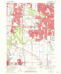
1968 Map of Calumet City
USGS Topo · Published 1970About this map
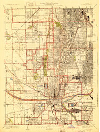
The Little Calumet River and its meandering neighbor, Thorn Creek, serve as the geographical spine of this late-1960s industrial landscape where Illinois and Indiana meet. Heavy urbanization is evident across Calumet City and Hammond, yet sizable green spaces like the Thorn Creek Forest Preserve and Wentworth Woods provide a counterpoint to the dense residential and industrial grid. The era is defined by the massive infrastructure of the Tri-State Tollway and Kingery Expressway, which carve through the terrain to connect disparate hubs.
Find a feature on this map
104 named features on this map. Tap any name to fly to it.
Don’t see what you’re looking for? This feature index may not catch every label — zoom into the map to look around manually.
Map Details
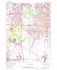
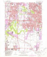
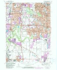
Editions of this 1968 Calumet City Map
4 editions found
Other maps of this area

1892 · Calumet
USGS Topo · 1:62,500

1893 · Calumet
USGS Topo · 1:62,500

1900 · Toleston
USGS Topo · 1:62,500

1900 · Calumet
USGS Topo · 1:62,500

1901 · Calumet
USGS Topo · 1:62,500

1929 · Calumet Lake
USGS Topo · 1:24,000

1929 · Calumet City
USGS Topo · 1:24,000
1929 · Blue Island
USGS Topo · 1:24,000

1929 · Harvey
USGS Topo · 1:24,000

1929 · Dyer
USGS Topo · 1:24,000
Featured Places
- Hammond, North Township
- Calumet City, Thornton Township
- Lansing, IL
- Chicago Heights, Bloom Township
- Munster, North Township