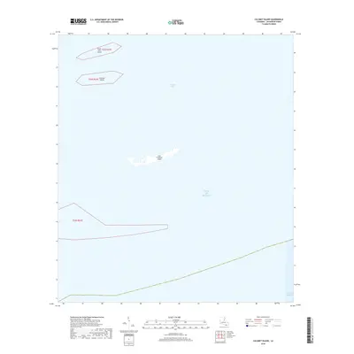
2018 Map of Calumet Island
USGS Topo · Published 2018About this map
Timbalier Bay and the open Gulf of Mexico dominate this coastal survey of Lafourche Parish. The landscape is defined by fragmented landforms and barrier islands, including the small northern outcrops of Casse-tete Island and Calumet Island. Further south, the elongated East Timbalier Island stands as a fragile boundary against the gulf. This 2018 documentation illustrates the minimal terrestrial footprint in this portion of the Louisiana delta, where township boundaries like t23s r21e and t24s r21e largely cross open water. For researchers, the map provides a precise record of the shoreline and island positions as they existed during the mid-2010s, reflecting the dynamic nature of this wetland environment.
Find a feature on this map
7 named features on this map. Tap any name to fly to it.
Don’t see what you’re looking for? This feature index may not catch every label — zoom into the map to look around manually.
Map Details
Editions of this 2018 Calumet Island Map
This is the sole edition of this map. No revisions or reprints were ever made.
Other maps of this area

1892 · Cheniere Caminada
USGS Topo · 1:62,500

1894 · Timbalier
USGS Topo · 1:62,500

1935 · Timbalier Island
USGS Topo · 1:31,680

1935 · Pelican Pass
USGS Topo · 1:31,680

1935 · Calumet Island
USGS Topo · 1:31,680

1935 · Leeville
USGS Topo · 1:31,680

1945 · New Orleans
USGS Topo · 1:250,000

1945 · Leeville
USGS Topo · 1:31,680

1947 · Jacko Bay
USGS Topo · 1:31,680
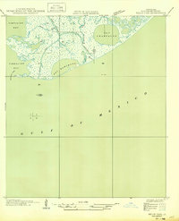
1949 · Belle Pass
USGS Topo · 1:31,680