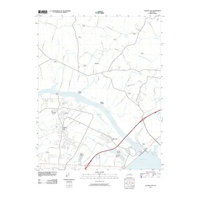
2010 Map of Calvert City
USGS Topo · Published 2010About this map
Kentucky Dam anchors the southeastern landscape of this Marshall County quadrangle, where the massive engineering project creates the northern terminus of Kentucky Lake. The river-dependent economy and geography are evident in the historical infrastructure along the Tennessee River, featuring Haddox Ferry and several water-access points such as Cooper Landing and Stanley Landing. Industrial and civic growth are centered around Calvert City and Gilbertsville, with transportation routes like Airport Rd leading to the Kentucky Dam State Park Airport.
Find a feature on this map
75 named features on this map. Tap any name to fly to it.
Don’t see what you’re looking for? This feature index may not catch every label — zoom into the map to look around manually.
Map Details
Editions of this 2010 Calvert City Map
This is the sole edition of this map. No revisions or reprints were ever made.
Other maps of this area

1928 · Eddyville
USGS Topo · 1:48,000

1929 · Smithland
USGS Topo · 1:62,500

1931 · Eddyville
USGS Topo · 1:62,500

1936 · Elva
USGS Topo · 1:24,000

1936 · Eddyville
USGS Topo · 1:48,000

1936 · Grand Rivers
USGS Topo · 1:24,000

1936 · Smithland
USGS Topo · 1:48,000

1936 · Benton
USGS Topo · 1:48,000

1936 · Birmingham
USGS Topo · 1:24,000

1936 · Golden Pond
USGS Topo · 1:48,000