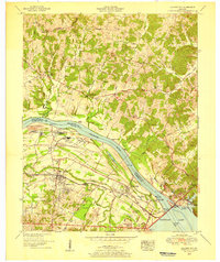
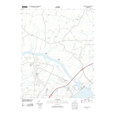
1955 Map of Calvert City
USGS Topo · Published 1956About this map
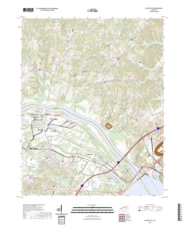
Industrial expansion along the Tennessee River characterizes this mid-1950s landscape, where massive infrastructure projects meet traditional Kentucky settlements. Calvert City serves as a focal point for this development, with numerous pumping stations, filtration plants, and a series of unnamed chemical facilities lining the riverbank. This shift toward heavy industry is anchored by the presence of Kentucky Dam and the expansive Kentucky Lake, which reshaped the local topography and commerce during this era.
Find a feature on this map
46 named features on this map. Tap any name to fly to it.
Don’t see what you’re looking for? This feature index may not catch every label — zoom into the map to look around manually.
Map Details
Editions of this 1955 Calvert City Map
This is the sole edition of this map. No revisions or reprints were ever made.
Historical Maps of Calvert City Through Time
9 maps found
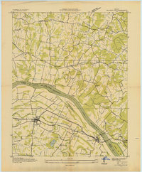
1936 Calvert City
Marshall County, KY
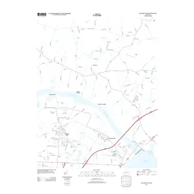
1955 Calvert City
Marshall County, KY
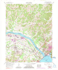
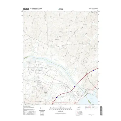
1958 Calvert City
Marshall County, KY
1993 Calvert City
Marshall County, KY
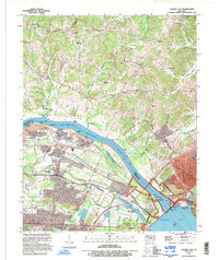
2010 Calvert City
Marshall County, KY
2013 Calvert City
Marshall County, KY
2016 Calvert City
Marshall County, KY
2019 Calvert City
Marshall County, KY
2022 Calvert City
Marshall County, KY