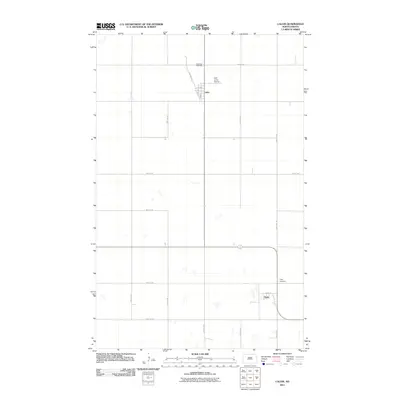
2011 Map of Calvin
USGS Topo · Published 2011About this map
Calvin and Clyde anchor this northern prairie landscape, situated along a grid of section-line roads in Cavalier County. The settlement of Calvin is organized around a small street network including Lyman St and 3rd Ave, while the memory of earlier transportation patterns is preserved in the naming of Railroad Ave. Outside the town centers, the land is largely open, marked by small prairie potholes and isolated landmarks like the Keith Jones Airstrip. For those tracing local history or family roots, the map provides precise locations for the Corinthian Cemetery north of town and the Clyde Cemetery situated to the east of the Clyde settlement. This 2011 survey reflects the enduring agricultural layout of the region, where wide-reaching avenues like 80th Ave NE connect far-flung farmsteads and rural sites.
Find a feature on this map
20 named features on this map. Tap any name to fly to it.
Don’t see what you’re looking for? This feature index may not catch every label — zoom into the map to look around manually.
Map Details
Editions of this 2011 Calvin Map
This is the sole edition of this map. No revisions or reprints were ever made.
Other maps of this area

1953 · Devils Lake
USGS Topo · 1:250,000

1956 · Devils Lake
USGS Topo · 1:250,000

1962 · Egeland
USGS Topo · 1:24,000

1969 · Rock Lake NE
USGS Topo · 1:24,000

1970 · Sarles NE
USGS Topo · 1:24,000

1970 · Calvin
USGS Topo · 1:24,000

1970 · Sarles SE
USGS Topo · 1:24,000

1970 · Sarles
USGS Topo · 1:24,000

1970 · Rock Lake SE
USGS Topo · 1:24,000

1970 · Munich
USGS Topo · 1:24,000