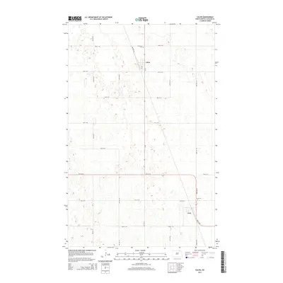
2014 Map of Calvin
USGS Topo · Published 2014About this map
Calvin and the surrounding plains of Cavalier County are defined by a rhythmic grid of agricultural roads and scattered glacial wetlands. This 2014 survey captures the township during a period of modern rural stability, where the landscape is organized along north-south thoroughfares like 80th Ave NE and 3rd Ave. Local history is anchored by the presence of Corinthian Cem north of the main settlement and Clyde Cem situated near the village of Clyde to the southeast. The inclusion of Railroad Ave in the center of Calvin reflects the historic importance of transport lines in shaping the orientation of these North Dakota prairie towns, even as the landscape remains primarily dedicated to expansive field patterns.
Find a feature on this map
19 named features on this map. Tap any name to fly to it.
Don’t see what you’re looking for? This feature index may not catch every label — zoom into the map to look around manually.
Map Details
Editions of this 2014 Calvin Map
This is the sole edition of this map. No revisions or reprints were ever made.
Other maps of this area

1953 · Devils Lake
USGS Topo · 1:250,000

1956 · Devils Lake
USGS Topo · 1:250,000

1962 · Egeland
USGS Topo · 1:24,000

1969 · Rock Lake NE
USGS Topo · 1:24,000

1970 · Sarles NE
USGS Topo · 1:24,000

1970 · Calvin
USGS Topo · 1:24,000

1970 · Sarles SE
USGS Topo · 1:24,000

1970 · Sarles
USGS Topo · 1:24,000

1970 · Rock Lake SE
USGS Topo · 1:24,000

1970 · Munich
USGS Topo · 1:24,000