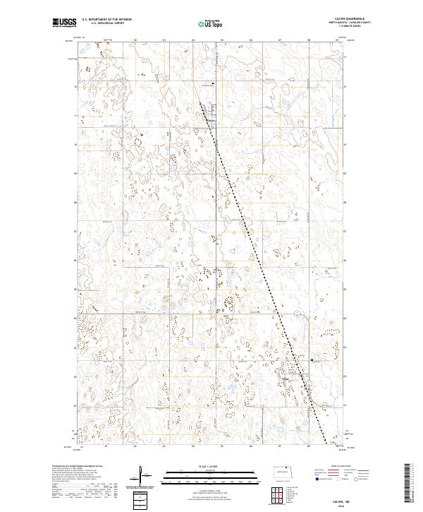
2024 Map of Calvin
USGS Topo · Published 2024About this map
Calvin and Clyde stand as the primary settlements in this rural Cavalier County landscape, shaped by a rigid grid of agricultural section lines and township boundaries. The layout of Calvin is oriented around Railroad Ave and 3rd Ave, reflecting its origins as a rail-adjacent prairie town. To the south, the village of Clyde is centered on Main St, with its local history preserved at the nearby Clyde Cem. The surrounding terrain is characterized by numerous small wetlands and prairie potholes that dot the landscape between major thoroughfares like 99th St Ne Co 12 and 80th Ave Ne. This survey captures the enduring settlement patterns of northeastern North Dakota, where isolated landmarks like Corinthian Cem serve as quiet anchors for the surrounding farming community.
Find a feature on this map
22 named features on this map. Tap any name to fly to it.
Don’t see what you’re looking for? This feature index may not catch every label — zoom into the map to look around manually.
Map Details
Editions of this 2024 Calvin Map
This is the sole edition of this map. No revisions or reprints were ever made.
Other maps of this area

1953 · Devils Lake
USGS Topo · 1:250,000

1956 · Devils Lake
USGS Topo · 1:250,000

1962 · Egeland
USGS Topo · 1:24,000

1969 · Rock Lake NE
USGS Topo · 1:24,000

1970 · Sarles NE
USGS Topo · 1:24,000

1970 · Calvin
USGS Topo · 1:24,000

1970 · Sarles SE
USGS Topo · 1:24,000

1970 · Sarles
USGS Topo · 1:24,000

1970 · Rock Lake SE
USGS Topo · 1:24,000

1970 · Munich
USGS Topo · 1:24,000