Loading...
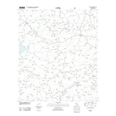
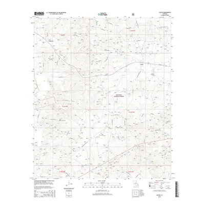
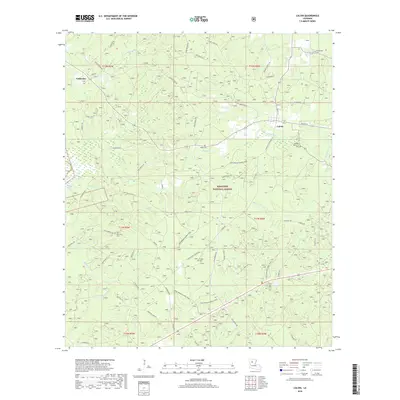
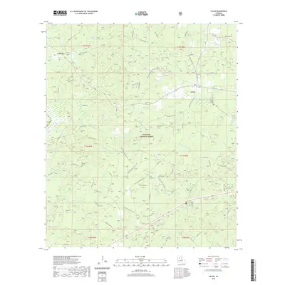
Loading map...2024 Map of Calvin
USGS Topo · Published 2024About this map
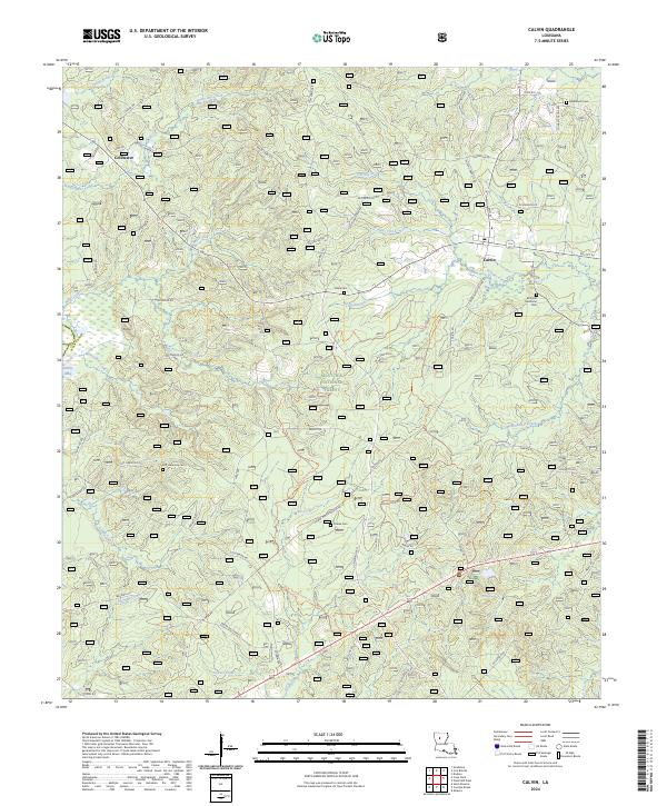
Kisatchie National Forest defines the wooded character of this region in Winn Parish, where the small settlement of Calvin serves as a local hub. The landscape is deeply carved by a dense network of watercourses, including Kyiates Creek, Garfish Creek, and Medenhouse Creek, which dictate the winding paths of rural routes like Calvin Natchitoches Rd.
Find a feature on this map
72 named features on this map. Tap any name to fly to it.
Don’t see what you’re looking for? This feature index may not catch every label — zoom into the map to look around manually.
Map Details
Date Portrayed2024
Date Published2024
PublisherU.S. Geological Survey
Map TypeTopographic
Scale1:24,000
Physical Dimensions24 x 29 inches
Editions of this 2024 Calvin Map
This is the sole edition of this map. No revisions or reprints were ever made.
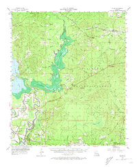
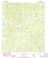
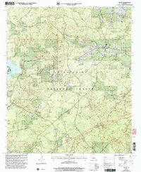
Historical Maps of Calvin Through Time
8 maps found
Featured Locations
Source Details
SourceU.S. Geological Survey
CopyrightPublic Domain