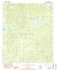
1983 Map of Calvin
USGS Topo · Published 1984About this map
The Kisatchie National Forest dominates this section of Winn Parish, where dense woodlands are carved by a complex network of creeks and small settlements. The town of Calvin sits in the northeast along the Kansas City Southern railway, serving as a focal point for a landscape defined by timber and agriculture. Deep in the forest and along the perimeter, smaller communities and family-named landmarks like Coldwater and Kyiaies persist, often organized around rural institutions such as Bethlehem Ch and Sanders Chapel.
Find a feature on this map
40 named features on this map. Tap any name to fly to it.
Don’t see what you’re looking for? This feature index may not catch every label — zoom into the map to look around manually.
Map Details
Editions of this 1983 Calvin Map
This is the sole edition of this map. No revisions or reprints were ever made.
Other maps of this area

1947 · Goldonna
USGS Topo · 1:62,500

1949 · Calvin SE
USGS Topo · 1:31,680

1949 · Calvin NE
USGS Topo · 1:31,680

1949 · Calvin NW
USGS Topo · 1:31,680

1949 · Calvin SW
USGS Topo · 1:31,680

1949 · Jonesboro
USGS Topo · 1:62,500

1950 · Jonesboro
USGS Topo · 1:62,500

1950 · Winnfield
USGS Topo · 1:62,500

1951 · Winnfield
USGS Topo · 1:62,500

1953 · Alexandria
USGS Topo · 1:250,000