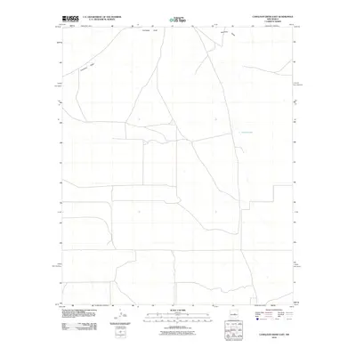
2010 Map of Camaleon Draw East
USGS Topo · Published 2010About this map
Camaleon Draw winds through this expanse of Lincoln County, defining the drainage patterns of a landscape marked by its vast open spaces and sparse water sources. The 2010 survey by the U.S. Geological Survey illustrates a region dominated by ranching infrastructure and intermittent hydrography, where the seasonal flow of the draw is a primary geographic feature. To the east, Jojonera Lake provides a notable point of reference for local land management and hydrology in an otherwise arid environment. The map details an extensive network of local roads and 4WD tracks that crisscross the terrain, reflecting the modern logistical patterns required for rural New Mexico land use at the beginning of the 21st century.
Find a feature on this map
2 named features on this map. Tap any name to fly to it.
Don’t see what you’re looking for? This feature index may not catch every label — zoom into the map to look around manually.
Map Details
Editions of this 2010 Camaleon Draw East Map
This is the sole edition of this map. No revisions or reprints were ever made.
Other maps of this area

1954 · Fort Sumner
USGS Topo · 1:250,000

1958 · Fort Sumner
USGS Topo · 1:250,000

1980 · Corona
USGS Topo · 1:100,000

1981 · Gallo Spring Canyon
USGS Topo · 1:24,000

1981 · Gacho Hill NW
USGS Topo · 1:24,000

1981 · Gacho Hill SW
USGS Topo · 1:24,000

1981 · Camaleon Draw West
USGS Topo · 1:24,000
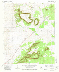
1981 · Duran
USGS Topo · 1:24,000

1981 · Camaleon Draw East
USGS Topo · 1:24,000
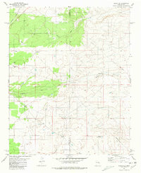
1981 · Duran NE
USGS Topo · 1:24,000