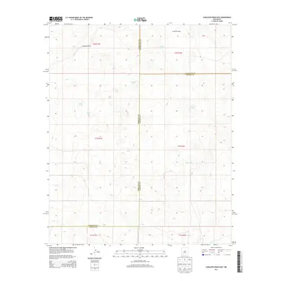
2013 Map of Camaleon Draw East
USGS Topo · Published 2013About this map
The arid high plains of central New Mexico meet at a tri-county junction on this sheet, where the boundaries of Lincoln, Guadalupe, and Torrance counties converge. The landscape is defined by the ephemeral Camaleon Draw, which cuts across the northern terrain. Water management is the primary human imprint on this open country, evidenced by a network of named tanks and catchments used for livestock and ranching.
Find a feature on this map
17 named features on this map. Tap any name to fly to it.
Don’t see what you’re looking for? This feature index may not catch every label — zoom into the map to look around manually.
Map Details
Editions of this 2013 Camaleon Draw East Map
This is the sole edition of this map. No revisions or reprints were ever made.
Other maps of this area

1954 · Fort Sumner
USGS Topo · 1:250,000

1958 · Fort Sumner
USGS Topo · 1:250,000

1980 · Corona
USGS Topo · 1:100,000

1981 · Gallo Spring Canyon
USGS Topo · 1:24,000

1981 · Gacho Hill NW
USGS Topo · 1:24,000

1981 · Gacho Hill SW
USGS Topo · 1:24,000

1981 · Camaleon Draw West
USGS Topo · 1:24,000
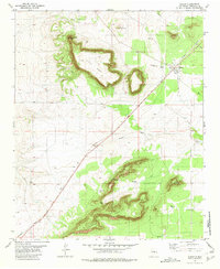
1981 · Duran
USGS Topo · 1:24,000

1981 · Camaleon Draw East
USGS Topo · 1:24,000
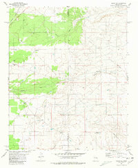
1981 · Duran NE
USGS Topo · 1:24,000