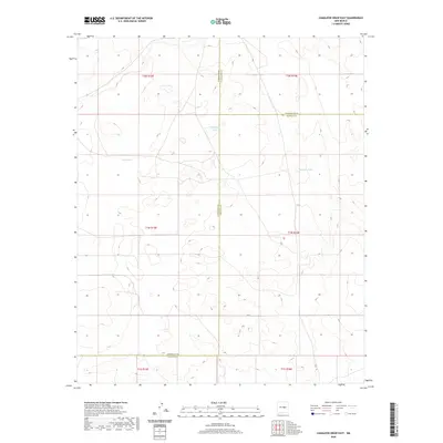
2020 Map of Camaleon Draw East
USGS Topo · Published 2020About this map
Water resources dictate the survival of livestock and travelers in this high-plains landscape where the boundaries of Torrance, Guadalupe, and Lincoln counties meet. Named catchment features like Sotol Tank and Casino Tank are critical markers in an arid environment otherwise dominated by township and range divisions. Higher elevations provide catchments for ephemeral bodies such as Telephone Lake and Jojonera Lake, which appear as rare breaks in the topographic contours. This survey captures the region as it existed in 2020, illustrating the intersection of modern county lines and the enduring importance of traditional water-harvesting sites.
Find a feature on this map
13 named features on this map. Tap any name to fly to it.
Don’t see what you’re looking for? This feature index may not catch every label — zoom into the map to look around manually.
Map Details
Editions of this 2020 Camaleon Draw East Map
This is the sole edition of this map. No revisions or reprints were ever made.
Other maps of this area

1954 · Fort Sumner
USGS Topo · 1:250,000

1958 · Fort Sumner
USGS Topo · 1:250,000

1980 · Corona
USGS Topo · 1:100,000

1981 · Gallo Spring Canyon
USGS Topo · 1:24,000

1981 · Gacho Hill NW
USGS Topo · 1:24,000

1981 · Gacho Hill SW
USGS Topo · 1:24,000

1981 · Camaleon Draw West
USGS Topo · 1:24,000
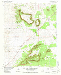
1981 · Duran
USGS Topo · 1:24,000

1981 · Camaleon Draw East
USGS Topo · 1:24,000
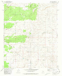
1981 · Duran NE
USGS Topo · 1:24,000