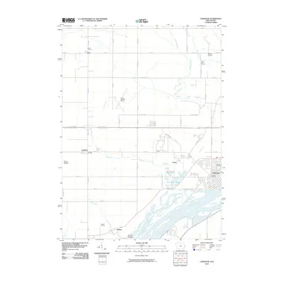
2010 Map of Camanche
USGS Topo · Published 2010About this map
The Mississippi River forms the eastern boundary of this survey, where the river's complex network of side channels and islands meet the industrial and residential corridors of Camanche. This riverfront settlement, complete with its Camanche Post Office, is a central hub of activity, contrasted by the smaller unincorporated communities of Low Moor and Shaffton to the west. The landscape is deeply agricultural, yet marked by a high density of rural burial grounds that serve as vital records for family historians, including the Bowers-Dannatt-Hill Cemetery and Elvira Cemetery.
Find a feature on this map
56 named features on this map. Tap any name to fly to it.
Don’t see what you’re looking for? This feature index may not catch every label — zoom into the map to look around manually.
Map Details
Editions of this 2010 Camanche Map
This is the sole edition of this map. No revisions or reprints were ever made.
Other maps of this area

1891 · Clinton
USGS Topo · 1:62,500

1892 · Goose Lake
USGS Topo · 1:62,500

1892 · Leclaire
USGS Topo · 1:62,500

1893 · Leclaire
USGS Topo · 1:62,500

1894 · Goose Lake
USGS Topo · 1:62,500

1894 · Clinton
USGS Topo · 1:62,500

1899 · Clinton
USGS Topo · 1:125,000

1952 · Erie
USGS Topo · 1:62,500

1952 · Clinton
USGS Topo · 1:62,500
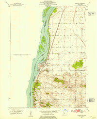
1952 · Cordova
USGS Topo · 1:24,000