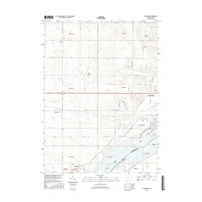
2015 Map of Camanche
USGS Topo · Published 2015About this map
The Mississippi River defines the southeastern edge of this Iowa landscape, where several large riverine features like Meredosia Island and Camanche Island segment the waterway near the Illinois border. This 2015 study shows the industrial and transport layout of southern Clinton and the riverfront city of Camanche, linked by the thoroughfare of Lincoln Way. The area is characterized by a high density of small rural settlements and hamlets, including Low Moor and Elvira to the west, and Shaffton and Folletts further south near Sadus Creek.
Find a feature on this map
101 named features on this map. Tap any name to fly to it.
Don’t see what you’re looking for? This feature index may not catch every label — zoom into the map to look around manually.
Map Details
Editions of this 2015 Camanche Map
This is the sole edition of this map. No revisions or reprints were ever made.
Other maps of this area

1891 · Clinton
USGS Topo · 1:62,500

1892 · Goose Lake
USGS Topo · 1:62,500

1892 · Leclaire
USGS Topo · 1:62,500

1893 · Leclaire
USGS Topo · 1:62,500

1894 · Goose Lake
USGS Topo · 1:62,500

1894 · Clinton
USGS Topo · 1:62,500

1899 · Clinton
USGS Topo · 1:125,000

1952 · Erie
USGS Topo · 1:62,500

1952 · Clinton
USGS Topo · 1:62,500
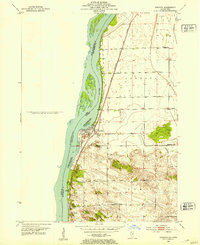
1952 · Cordova
USGS Topo · 1:24,000