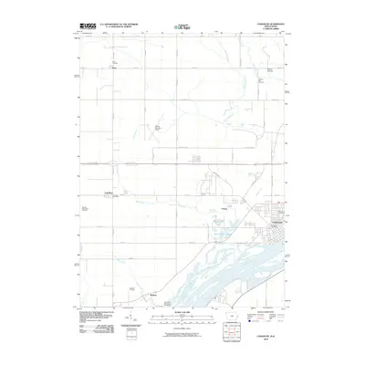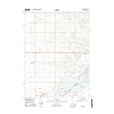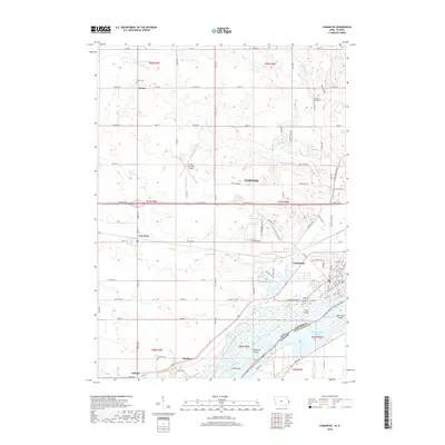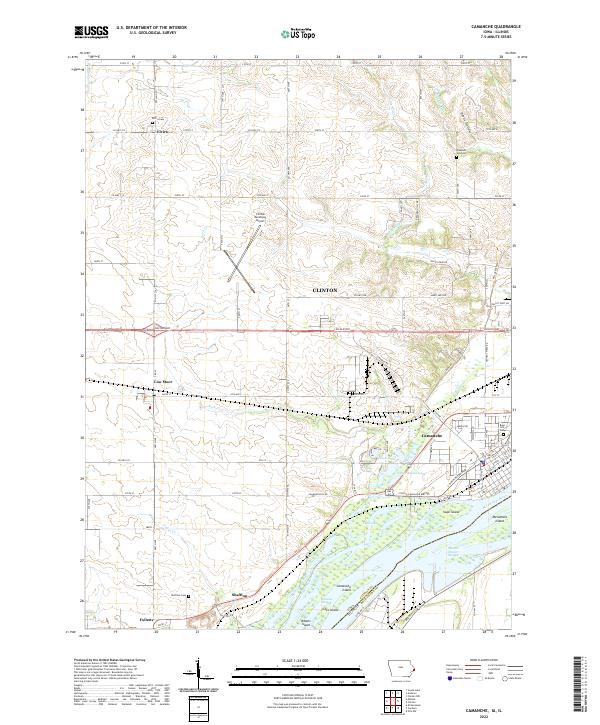
2022 Map of Camanche
USGS Topo · Published 2022About this map
The Mississippi River dominates the southern landscape of this region, shaping a complex network of backwaters and islands including Camanche Island, Swan Island, and Adams Island. The river's influence is evident in the intricate hydrology of Marais D'osier Slough and The Tubes. This modern survey details the established settlements of Camanche, Low Moor, and Elvira, illustrating a transition from the river-oriented town center to the sprawling agricultural and residential districts further inland.
Find a feature on this map
62 named features on this map. Tap any name to fly to it.
Don’t see what you’re looking for? This feature index may not catch every label — zoom into the map to look around manually.
Map Details
Editions of this 2022 Camanche Map
This is the sole edition of this map. No revisions or reprints were ever made.
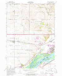
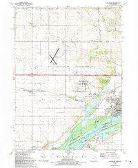
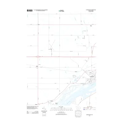
Historical Maps of Clinton Through Time
7 maps found