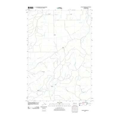
2011 Map of Camas Prairie
USGS Topo · Published 2011About this map
Camas Prairie defines this corner of Klickitat County, appearing in this 2011 survey as an area of mixed meadowland and canyon terrain. The northern portion of the quadrangle is anchored by the Mount Adams Cemetery, while the rural settlement of Panakanic and the Panakanic Prairie lie to the south. Water management for the region is marked by features like the Panakanic Water Works Dam and irrigation ditches including Sage Flat Ditch and Cold Springs Ditch.
Find a feature on this map
32 named features on this map. Tap any name to fly to it.
Don’t see what you’re looking for? This feature index may not catch every label — zoom into the map to look around manually.
Map Details
Editions of this 2011 Camas Prairie Map
This is the sole edition of this map. No revisions or reprints were ever made.
Other maps of this area

1904 · Mount Adams
USGS Topo · 1:125,000

1907 · Mount Adams
USGS Topo · 1:125,000

1934 · The Dalles
USGS Topo · 1:125,000

1950 · Yakima
USGS Topo · 1:250,000

1953 · The Dalles
USGS Topo · 1:250,000

1956 · The Dalles
USGS Topo · 1:250,000

1957 · The Dalles
USGS Topo · 1:250,000

1957 · Klickitat
USGS Topo · 1:62,500

1957 · Husum
USGS Topo · 1:62,500

1958 · Yakima
USGS Topo · 1:250,000