
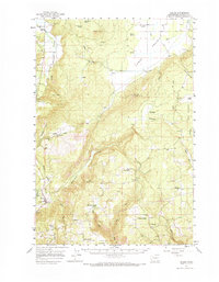
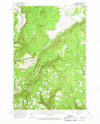
1957 Map of Husum
USGS Topo · Published 1959About this map
The White Salmon River cuts through this Klickitat County landscape, shaping a region defined by agricultural flats and significant vertical relief. At the time of this 1957 field check, small communities like Husum, Snowden, and Appleton served as localized hubs for the surrounding timber and ranching activities. The high elevation of Quigley Butte and Gross Mtn contrasts sharply with the expansive Camas Prairie, where a drainage network including Prairie Creek and Holmes Creek supports the valley floor. Evidence of early 20th-century rural infrastructure is preserved here, from the Mountain Brook School to the various millponds near Gilmer. The eastern edge of the map is dominated by The Plateau, while several isolated springs such as Willard Spring and Chapman Spring suggest the critical importance of water rights and management in this high-country environment.
Find a feature on this map
65 named features on this map. Tap any name to fly to it.
Don’t see what you’re looking for? This feature index may not catch every label — zoom into the map to look around manually.
Map Details
Editions of this 1957 Husum Map
3 editions found
Other maps of this area

1904 · Mount Adams
USGS Topo · 1:125,000

1907 · Mount Adams
USGS Topo · 1:125,000

1926 · Steamboat Mtn
USGS Topo · 1:125,000

1926 · Hood River
USGS Topo · 1:125,000

1929 · Hood River
USGS Topo · 1:125,000

1931 · Steamboat Mtn
USGS Topo · 1:125,000

1934 · The Dalles
USGS Topo · 1:125,000

1950 · Yakima
USGS Topo · 1:250,000

1953 · The Dalles
USGS Topo · 1:250,000

1956 · The Dalles
USGS Topo · 1:250,000