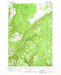
1957 Map of Husum
USGS Topo · Published 1967About this map
Camas Prairie dominates the northeastern landscape of this mid-century survey, a broad expanse contrasted by the deeply carved canyons of the White Salmon River and Rattlesnake Creek. This area of Klickitat County shows a distributed network of small rural hubs, including Snowden, Appleton, and Husum, which served the local agricultural and timber interests. The presence of several dedicated burial grounds, such as Mt Adams Cemetery and the Trout Lake Cem, alongside the Mountain Brook School, highlights the established community infrastructure of the time.
Find a feature on this map
36 named features on this map. Tap any name to fly to it.
Don’t see what you’re looking for? This feature index may not catch every label — zoom into the map to look around manually.
Map Details
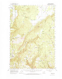
Editions of this 1957 Husum Map
3 editions found

Other maps of this area

1904 · Mount Adams
USGS Topo · 1:125,000

1907 · Mount Adams
USGS Topo · 1:125,000

1926 · Steamboat Mtn
USGS Topo · 1:125,000

1926 · Hood River
USGS Topo · 1:125,000

1929 · Hood River
USGS Topo · 1:125,000

1931 · Steamboat Mtn
USGS Topo · 1:125,000

1934 · The Dalles
USGS Topo · 1:125,000

1950 · Yakima
USGS Topo · 1:250,000

1953 · The Dalles
USGS Topo · 1:250,000

1956 · The Dalles
USGS Topo · 1:250,000