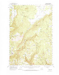
1957 Map of Husum
USGS Topo · Published 1967About this map
The White Salmon River cuts through the western edge of this 1957 survey, where a complex system of water management is visible via a Dam, Flume, and Gaging Sta. The landscape transitions from the agricultural expanse of the Camas Prairie in the north to the rugged breaks of Rattlesnake Creek and Indian Creek further south. Small community centers like Snowden, Appleton, and Husum anchor the rural landscape, while the Mountain Brook School and several burial grounds, including Mt Adams Cemetery and the Trout Lake Cem, provide essential touchpoints for genealogical research.
Find a feature on this map
47 named features on this map. Tap any name to fly to it.
Don’t see what you’re looking for? This feature index may not catch every label — zoom into the map to look around manually.
Map Details
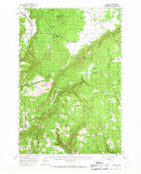
Editions of this 1957 Husum Map
3 editions found

Other maps of this area

1904 · Mount Adams
USGS Topo · 1:125,000

1907 · Mount Adams
USGS Topo · 1:125,000

1926 · Steamboat Mtn
USGS Topo · 1:125,000

1926 · Hood River
USGS Topo · 1:125,000

1929 · Hood River
USGS Topo · 1:125,000

1931 · Steamboat Mtn
USGS Topo · 1:125,000

1934 · The Dalles
USGS Topo · 1:125,000

1950 · Yakima
USGS Topo · 1:250,000

1953 · The Dalles
USGS Topo · 1:250,000

1956 · The Dalles
USGS Topo · 1:250,000