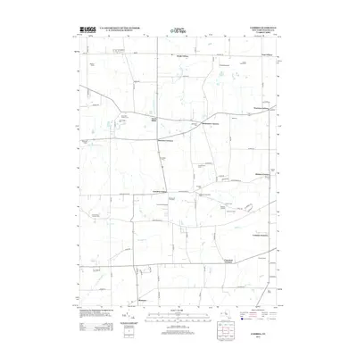
2013 Map of Cambria
USGS Topo · Published 2013About this map
Agricultural traditions and small crossroads settlements define this portion of Niagara County, where the landscape is organized by a grid of rural routes like Lower Mountain Rd and Upper Mountain Rd. The area is characterized by numerous family-named agricultural operations, including Blackman Homestead Farm and Koeppen Farms, illustrating the region's enduring farming heritage. Local history is anchored by several small community hubs such as Cambria Center, North Ridge, and Warrens Corners, which served as vital gathering points for the surrounding rural population.
Find a feature on this map
61 named features on this map. Tap any name to fly to it.
Don’t see what you’re looking for? This feature index may not catch every label — zoom into the map to look around manually.
Map Details
Editions of this 2013 Cambria Map
This is the sole edition of this map. No revisions or reprints were ever made.
Other maps of this area

1894 · Wilson
USGS Topo · 1:62,500

1897 · Tonawanda
USGS Topo · 1:62,500

1897 · Olcott
USGS Topo · 1:62,500

1897 · Lockport
USGS Topo · 1:62,500

1899 · Niagara
USGS Topo · 1:125,000

1900 · Wilson
USGS Topo · 1:62,500

1900 · Tonawanda
USGS Topo · 1:62,500

1901 · Tonawanda
USGS Topo · 1:62,500

1902 · Lockport
USGS Topo · 1:62,500

1905 · Lockport
USGS Topo · 1:62,500