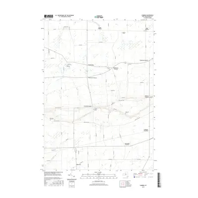
2016 Map of Cambria
USGS Topo · Published 2016About this map
The Niagara Escarpment defines the physical character of this landscape, creating a distinct elevation change that separates the lowlands near South Wilson from the higher elevations around Cambria Center. This 2016 survey captures a rural territory where historic crossroad settlements like Molyneaux Corners, Streeters Corners, and Warrens Corners continue to anchor the local geography. The area is particularly notable for its high concentration of family and denominational burial grounds, including the Hillside Cem of Cambria and the Saint Peter Lutheran Cem.
Find a feature on this map
62 named features on this map. Tap any name to fly to it.
Don’t see what you’re looking for? This feature index may not catch every label — zoom into the map to look around manually.
Map Details
Editions of this 2016 Cambria Map
This is the sole edition of this map. No revisions or reprints were ever made.
Other maps of this area

1894 · Wilson
USGS Topo · 1:62,500

1897 · Tonawanda
USGS Topo · 1:62,500

1897 · Olcott
USGS Topo · 1:62,500

1897 · Lockport
USGS Topo · 1:62,500

1899 · Niagara
USGS Topo · 1:125,000

1900 · Wilson
USGS Topo · 1:62,500

1900 · Tonawanda
USGS Topo · 1:62,500

1901 · Tonawanda
USGS Topo · 1:62,500

1902 · Lockport
USGS Topo · 1:62,500

1905 · Lockport
USGS Topo · 1:62,500