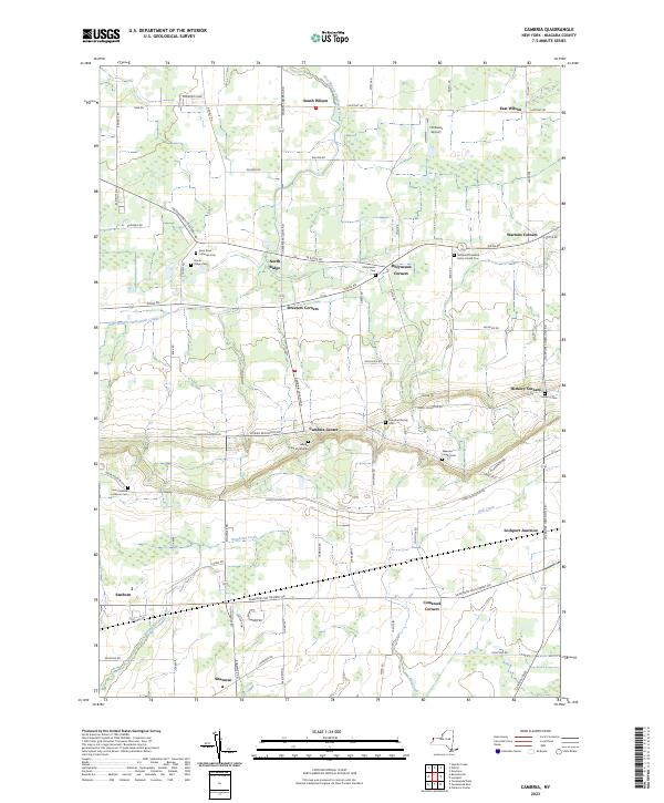
2023 Map of Cambria
USGS Topo · Published 2023About this map
Cambria Center and its surrounding hamlets occupy this agricultural landscape in Niagara County, characterized by a series of family and community burial grounds that trace the area's genealogical roots. Numerous cemeteries, including the Campbell Family Cem, Weaver Family Cem, and Pomeroy Cem, are scattered across the terrain, reflecting the deep-seated settlement patterns of the region. The landscape is defined by the distinct escarpment running through the center, separating the northern plains from the higher southern elevations. Infrastructure and local industry are marked by sites like Hibbard's Airport near East Wilson and the rail-oriented hub at Lockport Junction. Waterways such as East Branch Twelvemile Creek and Bergholtz Creek drain the fertile fields, while a dense network of crossroads connects historical clusters like Molyneaux Corners, Streeters Corners, and Warrens Corners, each representing a vital point in the town's ongoing rural development.
Find a feature on this map
78 named features on this map. Tap any name to fly to it.
Don’t see what you’re looking for? This feature index may not catch every label — zoom into the map to look around manually.
Map Details
Editions of this 2023 Cambria Map
This is the sole edition of this map. No revisions or reprints were ever made.
Other maps of this area

1894 · Wilson
USGS Topo · 1:62,500

1897 · Tonawanda
USGS Topo · 1:62,500

1897 · Olcott
USGS Topo · 1:62,500

1897 · Lockport
USGS Topo · 1:62,500

1899 · Niagara
USGS Topo · 1:125,000

1900 · Wilson
USGS Topo · 1:62,500

1900 · Tonawanda
USGS Topo · 1:62,500

1901 · Tonawanda
USGS Topo · 1:62,500

1902 · Lockport
USGS Topo · 1:62,500

1905 · Lockport
USGS Topo · 1:62,500