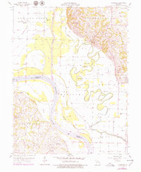
1956 Map of Cambridge
USGS Topo · Published 1979About this map
The Missouri River and its shifting relationship with the Chariton River dominate this mid-century landscape at the border of Chariton and Saline counties. The map captures a complex system of oxbows and river engineering, including the Old Chariton River Channel, Hayes Cutoff, and the Big Cutoff, reflecting efforts to manage the volatile bottomlands. Small agricultural centers and river landings like Cambridge and Rockford serve as focal points for local history, with rural life anchored by institutions such as Salem Sch and Potter Chapel. Genealogists will find significant value in the distribution of family-connected landmarks and burial grounds, from the Cambridge Cem on the bluffs to the isolated Aholt Cem near the river's bend, documenting the settlement patterns before modern agricultural consolidation shifted these rural communities.
Find a feature on this map
29 named features on this map. Tap any name to fly to it.
Don’t see what you’re looking for? This feature index may not catch every label — zoom into the map to look around manually.
Map Details
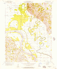
Editions of this 1956 Cambridge Map
2 editions found
Other maps of this area

1890 · Glasgow
USGS Topo · 1:125,000

1890 · Marshall
USGS Topo · 1:125,000

1892 · Marshall
USGS Topo · 1:125,000

1901 · Marshall
USGS Topo · 1:125,000

1940 · Marshall
USGS Topo · 1:62,500

1944 · Marshall
USGS Topo · 1:62,500

1947 · Glasgow
USGS Topo · 1:62,500

1951 · Brunswick East
USGS Topo · 1:24,000
1951 · New Frankfort
USGS Topo · 1:24,000

1953 · Moberly
USGS Topo · 1:250,000