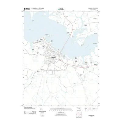
2011 Map of Cambridge
USGS Topo · Published 2011About this map
Cambridge serves as the focal point for this Eastern Shore landscape, situated where the broad Choptank River meets a network of creeks and marshes. The city’s core is marked by civic and spiritual landmarks like the Cambridge Post Office and several historic burial grounds, including Waugh Cemetery and Greenlawn Cemetery. To the north, the water-bound geography of Bolingbroke Neck and Hambrooke Point highlights a long history of maritime access, with Kirby Wharf and Burams Landing serving the river trade.
Find a feature on this map
131 named features on this map. Tap any name to fly to it.
Don’t see what you’re looking for? This feature index may not catch every label — zoom into the map to look around manually.
Map Details
Editions of this 2011 Cambridge Map
This is the sole edition of this map. No revisions or reprints were ever made.
Other maps of this area

1898 · Choptank
USGS Topo · 1:125,000

1898 · St. Marys
USGS Topo · 1:125,000

1903 · Nanticoke
USGS Topo · 1:62,500

1904 · Oxford
USGS Topo · 1:62,500

1905 · Crapo
USGS Topo · 1:62,500

1905 · Hurlock
USGS Topo · 1:62,500

1906 · St. Marys
USGS Topo · 1:125,000

1908 · Choptank
USGS Topo · 1:125,000

1942 · Oxford
USGS Topo · 1:31,680

1942 · Church Creek
USGS Topo · 1:24,000