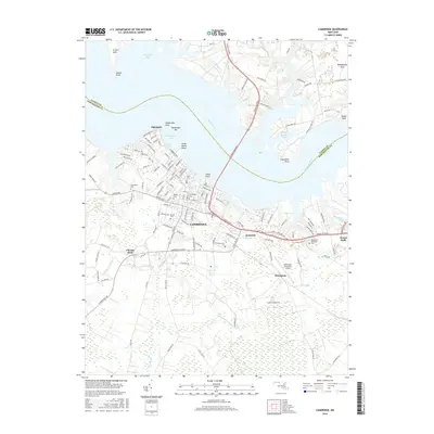
2016 Map of Cambridge
USGS Topo · Published 2016About this map
Cambridge serves as the focal point of this Eastern Shore survey, situated prominently where the Choptank River widens. The city’s residential expansion is evident in the neighborhoods of Algonquin and Jacktown, while the waterfront is defined by several distinct points including Hambrooke Point and Great Marsh Point. The infrastructure of the mid-2010s is clearly delineated, featuring the Choptank River Brg and the Cambridge-Dorchester Airport south of the main settlement. Genealogy and local history researchers will find a high concentration of burial sites throughout the area, including Christ Cem, Waugh Cem, and the Greenlawn Cem near Jenkins Cr. Beyond the urban center, the landscape transitions into the tidal marshes and creeks of the Little Blackwater River and Little Maple Dam Br, illustrating the deep connection between the Dorchester County community and its complex riverine environment.
Find a feature on this map
145 named features on this map. Tap any name to fly to it.
Don’t see what you’re looking for? This feature index may not catch every label — zoom into the map to look around manually.
Map Details
Editions of this 2016 Cambridge Map
This is the sole edition of this map. No revisions or reprints were ever made.
Other maps of this area

1898 · Choptank
USGS Topo · 1:125,000

1898 · St. Marys
USGS Topo · 1:125,000

1903 · Nanticoke
USGS Topo · 1:62,500

1904 · Oxford
USGS Topo · 1:62,500

1905 · Crapo
USGS Topo · 1:62,500

1905 · Hurlock
USGS Topo · 1:62,500

1906 · St. Marys
USGS Topo · 1:125,000

1908 · Choptank
USGS Topo · 1:125,000

1942 · Oxford
USGS Topo · 1:31,680

1942 · Church Creek
USGS Topo · 1:24,000