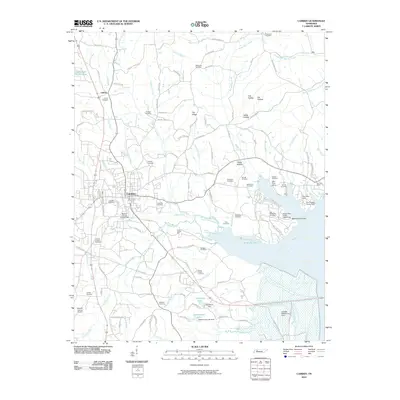
2010 Map of Camden
USGS Topo · Published 2010About this map
Camden serves as the central hub of this West Tennessee landscape, situated west of the expansive Kentucky Lake. The settlement patterns here reveal a deep connection to the terrain, with numerous family-named cemeteries such as Maiden Cemetery, Lashlee Cemetery, and Arhold Cemetery dotting the countryside. To the east, the shoreline of the lake is marked by recreational and residential clusters like the Eva Cabin Area and Beaverdam Creek Cabin Area, while the Eva Post Office remains a local landmark near the water.
Find a feature on this map
111 named features on this map. Tap any name to fly to it.
Don’t see what you’re looking for? This feature index may not catch every label — zoom into the map to look around manually.
Map Details
Editions of this 2010 Camden Map
This is the sole edition of this map. No revisions or reprints were ever made.
Other maps of this area

1936 · Camden
USGS Topo · 1:24,000

1936 · Seventeen Creek
USGS Topo · 1:24,000

1936 · Big Sandy
USGS Topo · 1:24,000

1936 · Johnsonville
USGS Topo · 1:24,000

1936 · Bruceton
USGS Topo · 1:24,000

1936 · Harmon Creek
USGS Topo · 1:24,000

1936 · Rockport
USGS Topo · 1:24,000

1936 · Manleyville
USGS Topo · 1:24,000

1936 · Hustburg
USGS Topo · 1:24,000

1940 · Manleyville
USGS Topo · 1:24,000