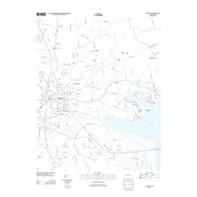
2013 Map of Camden
USGS Topo · Published 2013About this map
Camden serves as the focal point of this Benton County survey, situated just west of the extensive waters of Kentucky Lake. The town's layout includes the Benton County Fairgrounds and various residential sectors like Tin Cup and Black Center. The landscape to the east and south transitions into a series of water-rich bottoms and sloughs, including Sandow Slough and Fourmile Slough, which characterize the drainage patterns near the Camden Dewatering Area.
Find a feature on this map
221 named features on this map. Tap any name to fly to it.
Don’t see what you’re looking for? This feature index may not catch every label — zoom into the map to look around manually.
Map Details
Editions of this 2013 Camden Map
This is the sole edition of this map. No revisions or reprints were ever made.
Other maps of this area

1936 · Camden
USGS Topo · 1:24,000

1936 · Seventeen Creek
USGS Topo · 1:24,000

1936 · Big Sandy
USGS Topo · 1:24,000

1936 · Johnsonville
USGS Topo · 1:24,000

1936 · Bruceton
USGS Topo · 1:24,000

1936 · Harmon Creek
USGS Topo · 1:24,000

1936 · Rockport
USGS Topo · 1:24,000

1936 · Manleyville
USGS Topo · 1:24,000

1936 · Hustburg
USGS Topo · 1:24,000

1940 · Manleyville
USGS Topo · 1:24,000