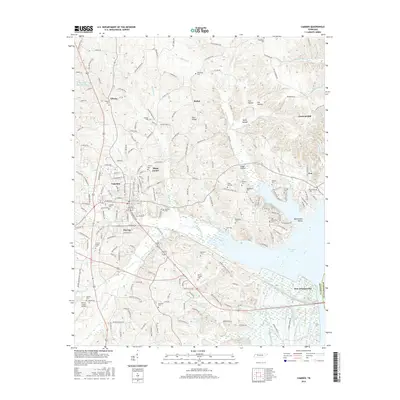
2016 Map of Camden
USGS Topo · Published 2016About this map
Camden serves as the central hub of this West Tennessee landscape, where the CSX Transportation railroad line cuts through the heart of town. The topography to the east is defined by the expansive waters of Kentucky Lake, which separates Benton County from Humphreys County. This era shows a settled rural environment dotted with numerous burial grounds and small communities like Tin Cup, Black Center, and Liberty.
Find a feature on this map
213 named features on this map. Tap any name to fly to it.
Don’t see what you’re looking for? This feature index may not catch every label — zoom into the map to look around manually.
Map Details
Editions of this 2016 Camden Map
This is the sole edition of this map. No revisions or reprints were ever made.
Other maps of this area

1936 · Camden
USGS Topo · 1:24,000

1936 · Seventeen Creek
USGS Topo · 1:24,000

1936 · Big Sandy
USGS Topo · 1:24,000

1936 · Johnsonville
USGS Topo · 1:24,000

1936 · Bruceton
USGS Topo · 1:24,000

1936 · Harmon Creek
USGS Topo · 1:24,000

1936 · Rockport
USGS Topo · 1:24,000

1936 · Manleyville
USGS Topo · 1:24,000

1936 · Hustburg
USGS Topo · 1:24,000

1940 · Manleyville
USGS Topo · 1:24,000