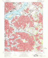
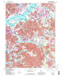
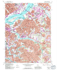
1967 Map of Camden
USGS Topo · Published 1970About this map
The Delaware River serves as the primary artery between Philadelphia and Camden in this late 1960s study, illustrating a landscape defined by intensive transit and industrial infrastructure. Multiple spans, including the Benjamin Franklin Bridge and the Walt Whitman Bridge, connect the two riverfronts, while the Penn Central and Reading rail lines weave through established neighborhoods like Merchantville and Collingswood. The map provides significant genealogical and local history detail, locating numerous memorial sites such as Harleigh Cemetery, Locustwood Cemetery, and Crescent Burial Park. Inland, the suburban expansion of Cherry Hill and Pennsauken is evident, showing a dense network of local institutions from Merchantville High Sch to Cooper Hospital. Small water bodies like Haddon Lake and Hopkins Pond offer contrast to the heavy urban development surrounding Petty Island.
Find a feature on this map
155 named features on this map. Tap any name to fly to it.
Don’t see what you’re looking for? This feature index may not catch every label — zoom into the map to look around manually.
Map Details
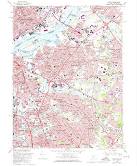
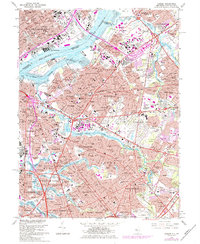
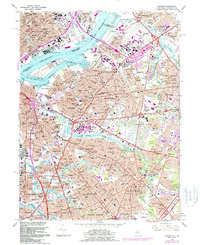
Editions of this 1967 Camden Map
6 editions found
Other maps of this area

1888 · Mount Holly
USGS Topo · 1:62,500

1890 · Burlington
USGS Topo · 1:62,500

1891 · Philadelphia
USGS Topo · 1:62,500

1893 · Germantown
USGS Topo · 1:62,500

1893 · Burlington
USGS Topo · 1:62,500

1894 · Mount Holly
USGS Topo · 1:62,500

1894 · Philadelphia
USGS Topo · 1:62,500

1894 · Germantown
USGS Topo · 1:62,500

1896 · Germantown
USGS Topo · 1:62,500

1896 · Philadelphia
USGS Topo · 1:62,500