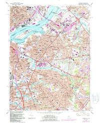
1967 Map of Camden
USGS Topo · Published 1988About this map
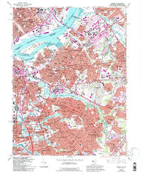
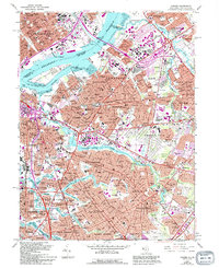
The Delaware River serves as a massive industrial and transit artery in this mid-century portrait of South Jersey and the Philadelphia waterfront. While the Pennsylvania side is dominated by the neighborhoods of Richmond, Bridesburg, and Port Richmond, the Jersey side shows the post-war suburban expansion of Pennsauken and Cherry Hill. Significant infrastructure projects of the era are prominent, including the Walt Whitman Bridge and New Jersey Turnpike, which reshaped the local landscape.
Find a feature on this map
155 named features on this map. Tap any name to fly to it.
Don’t see what you’re looking for? This feature index may not catch every label — zoom into the map to look around manually.
Map Details
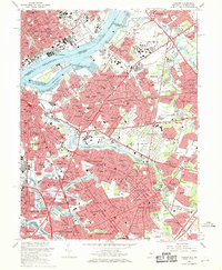
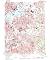
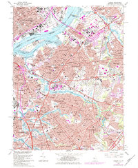
Editions of this 1967 Camden Map
6 editions found
Other maps of this area

1888 · Mount Holly
USGS Topo · 1:62,500

1890 · Burlington
USGS Topo · 1:62,500

1891 · Philadelphia
USGS Topo · 1:62,500

1893 · Germantown
USGS Topo · 1:62,500

1893 · Burlington
USGS Topo · 1:62,500

1894 · Mount Holly
USGS Topo · 1:62,500

1894 · Philadelphia
USGS Topo · 1:62,500

1894 · Germantown
USGS Topo · 1:62,500

1896 · Germantown
USGS Topo · 1:62,500

1896 · Philadelphia
USGS Topo · 1:62,500