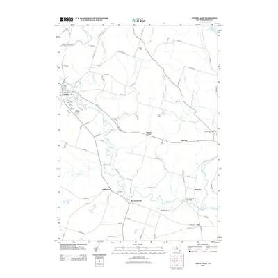
2013 Map of Camden East
USGS Topo · Published 2013About this map
Camden and its surrounding hamlets are defined by the winding hydrology of the Mad River and the W Br Fish Cr. This 2013 survey captures the area’s longstanding rural character, centered on the intersection of local industry and transport at McConnellsville and the residential clusters near Blossvale. For genealogists and family researchers, the map is particularly detailed in its inventory of burial sites, including Forest Park Cem, Saint Johns Cem, and Forest Lawn Cem clustered near the main settlement, along with the Old Protestant Cem further east. The landscape transitions from the developed grid of Camden to the high ground at Corkin Hill and Pine Hill, with the Oneida City Reservoir tucked into the northeast corner. This geography illustrates a community built around the water power and natural resources of the Tug Hill region, maintaining its footprint through small hamlets like Dibbletown and Blennes Corner.
Find a feature on this map
96 named features on this map. Tap any name to fly to it.
Don’t see what you’re looking for? This feature index may not catch every label — zoom into the map to look around manually.
Map Details
Editions of this 2013 Camden East Map
This is the sole edition of this map. No revisions or reprints were ever made.
Other maps of this area

1895 · Chittenango
USGS Topo · 1:62,500

1895 · Oneida
USGS Topo · 1:62,500

1898 · Oneida
USGS Topo · 1:62,500

1898 · Chittenango
USGS Topo · 1:62,500

1902 · Chittenango
USGS Topo · 1:62,500

1902 · Oneida
USGS Topo · 1:62,500

1905 · Taberg
USGS Topo · 1:62,500

1906 · Kasoag
USGS Topo · 1:62,500

1939 · Oneida
USGS Topo · 1:62,500

1941 · Jewell
USGS Topo · 1:24,000