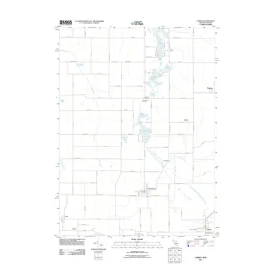
2011 Map of Camden
USGS Topo · Published 2011About this map
Montgomery and the western edge of Reading anchor this Hillsdale County landscape, which is defined by a dense network of glacial lakes and intersecting rural roads. In the northern section, a cluster of water bodies including Long Lake, Allen Lake, and Loon Lake suggests a long-standing recreational and residential pattern, supported by Kimball Camp and the Lime Lake Campground. The area's settlement history is further marked by several burial grounds, such as the West Reading Cemetery and Gleason Cemetery, which are distributed along the section lines.
Find a feature on this map
102 named features on this map. Tap any name to fly to it.
Don’t see what you’re looking for? This feature index may not catch every label — zoom into the map to look around manually.
Map Details
Editions of this 2011 Camden Map
This is the sole edition of this map. No revisions or reprints were ever made.
Other maps of this area

1914 · Pioneer
USGS Topo · 1:62,500

1939 · Angola East
USGS Topo · 1:24,000

1939 · Clear Lake
USGS Topo · 1:24,000

1940 · Clear Lake
USGS Topo · 1:24,000

1944 · Pioneer
USGS Topo · 1:62,500

1947 · Angola East
USGS Topo · 1:24,000

1953 · Fort Wayne
USGS Topo · 1:250,000

1956 · Fort Wayne
USGS Topo · 1:250,000

1959 · Hillsdale
USGS Topo · 1:24,000

1959 · Reading
USGS Topo · 1:24,000