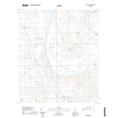
2020 Map of Camden North
USGS Topo · Published 2020About this map
The Alabama River winds through the heart of Wilcox County, defining the rural character of this Alabama landscape. The river creates a significant oxbow at Gees Bend, a place known for its deep cultural roots and isolated geography. Along the river's path, distinctive landmarks such as Hurricane Island and Sakti Hata stand out against the wetland terrain. The map is a vital resource for genealogists, documenting numerous burial sites like Pettway Cem, Irby Cem, and Pigeonfield Cem, which are scattered throughout the countryside.
Find a feature on this map
39 named features on this map. Tap any name to fly to it.
Don’t see what you’re looking for? This feature index may not catch every label — zoom into the map to look around manually.
Map Details
Editions of this 2020 Camden North Map
This is the sole edition of this map. No revisions or reprints were ever made.
Other maps of this area

1953 · Montgomery
USGS Topo · 1:250,000

1953 · Andalusia
USGS Topo · 1:250,000

1956 · Montgomery
USGS Topo · 1:250,000

1957 · Montgomery
USGS Topo · 1:250,000

1957 · Andalusia
USGS Topo · 1:250,000

1957 · Carlowville
USGS Topo · 1:62,500

1973 · Coy
USGS Topo · 1:24,000

1973 · Camden South
USGS Topo · 1:24,000

1974 · Crumptonia
USGS Topo · 1:24,000

1974 · Catherine
USGS Topo · 1:24,000