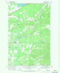
1968 Map of Camden
USGS Topo · Published 1971About this map
The Little Spokane River carves through the rugged terrain of northern Washington, defining the drainage patterns and transportation routes along the border of Pend Oreille and Spokane counties. In the late 1960s, this area centered around the small settlements of Camden and Scotia, with the Great Northern Scotia Valley serving as a primary corridor for rail and road movement. To the north, Diamond Lake stands as a significant water feature, while the southern reaches of the map show the boundary of Mt Spokane State Park.
Find a feature on this map
37 named features on this map. Tap any name to fly to it.
Don’t see what you’re looking for? This feature index may not catch every label — zoom into the map to look around manually.
Map Details
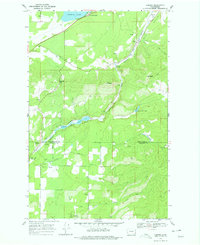
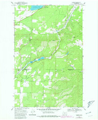
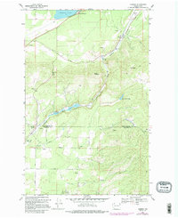
Editions of this 1968 Camden Map
4 editions found
Other maps of this area

1901 · Spokane
USGS Topo · 1:125,000

1936 · Newport
USGS Topo · 1:96,000

1942 · Newport
USGS Topo · 1:125,000

1943 · Mt Spokane
USGS Topo · 1:62,500

1949 · Deer Park
USGS Topo · 1:62,500

1950 · Mt Spokane
USGS Topo · 1:62,500

1951 · Deer Park
USGS Topo · 1:62,500

1955 · Spokane
USGS Topo · 1:250,000

1958 · Spokane
USGS Topo · 1:250,000

1958 · Sandpoint
USGS Topo · 1:250,000