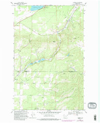
1968 Map of Camden
USGS Topo · Published 1995About this map
The Little Spokane River winds through a landscape of sharp relief and narrow valleys at the border of Pend Oreille and Spokane Counties. During the mid-to-late 1960s, the rural community of Camden and the smaller whistle-stop of Scotia anchored the local transport and timber economy. The topography is dominated by steep summits like Mt Pisgah and Lone Mountain, with the deep Canyon and Scotia Valley dictating the path of travel. Evidence of local recreation and civic life appears in the northern reaches at Diamond Lake and the Grange Hall to the west. Farther south, the map captures the upper boundary of Mt Spokane State Park. Named roads like Darknell Road and Oregon Road trace the lower elevations, connecting the scattered homesteads and timber tracts that defined this portion of the Inland Empire before late-century development reached the area.
Find a feature on this map
31 named features on this map. Tap any name to fly to it.
Don’t see what you’re looking for? This feature index may not catch every label — zoom into the map to look around manually.
Map Details
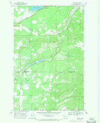
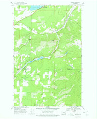
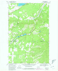
Editions of this 1968 Camden Map
4 editions found
Other maps of this area

1901 · Spokane
USGS Topo · 1:125,000

1936 · Newport
USGS Topo · 1:96,000

1942 · Newport
USGS Topo · 1:125,000

1943 · Mt Spokane
USGS Topo · 1:62,500

1949 · Deer Park
USGS Topo · 1:62,500

1950 · Mt Spokane
USGS Topo · 1:62,500

1951 · Deer Park
USGS Topo · 1:62,500

1955 · Spokane
USGS Topo · 1:250,000

1958 · Spokane
USGS Topo · 1:250,000

1958 · Sandpoint
USGS Topo · 1:250,000