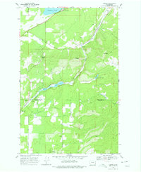
1968 Map of Camden
USGS Topo · Published 1979About this map
Camden and the surrounding borderlands of Pend Oreille and Spokane Counties appear here in the late 1960s, shaped by the Great Northern rail corridor. This rail-and-river economy is centered on the Little Spokane River and the Scotia Valley, where small settlements like Scotia and Grahams grew along the line. The landscape transitions from the aquatic margins of Diamond Lake and Lake of the Woods to the higher elevations of Lone Mountain and Mt Pisgah.
Find a feature on this map
30 named features on this map. Tap any name to fly to it.
Don’t see what you’re looking for? This feature index may not catch every label — zoom into the map to look around manually.
Map Details
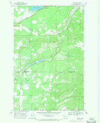
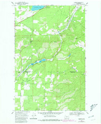
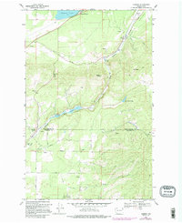
Editions of this 1968 Camden Map
4 editions found
Other maps of this area

1901 · Spokane
USGS Topo · 1:125,000

1936 · Newport
USGS Topo · 1:96,000

1942 · Newport
USGS Topo · 1:125,000

1943 · Mt Spokane
USGS Topo · 1:62,500

1949 · Deer Park
USGS Topo · 1:62,500

1950 · Mt Spokane
USGS Topo · 1:62,500

1951 · Deer Park
USGS Topo · 1:62,500

1955 · Spokane
USGS Topo · 1:250,000

1958 · Spokane
USGS Topo · 1:250,000

1958 · Sandpoint
USGS Topo · 1:250,000