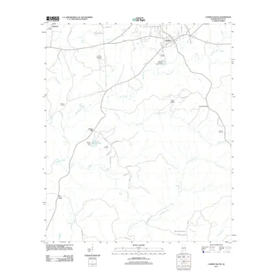
2011 Map of Camden South
USGS Topo · Published 2011About this map
Camden anchors the northern edge of this Wilcox County landscape, serving as a hub for local transportation and civil infrastructure at the start of the 2010s. The area is characterized by a dense network of watercourses, most notably Pursley Creek and Shoal Creek, which wind through the terrain toward the southern hills. Smaller settlements and rural intersections like Pebble Hill, Rockwest, and Dry Forks illustrate the dispersed nature of the county's residential growth outside the main town center.
Find a feature on this map
49 named features on this map. Tap any name to fly to it.
Don’t see what you’re looking for? This feature index may not catch every label — zoom into the map to look around manually.
Map Details
Editions of this 2011 Camden South Map
This is the sole edition of this map. No revisions or reprints were ever made.
Other maps of this area

1953 · Montgomery
USGS Topo · 1:250,000

1953 · Andalusia
USGS Topo · 1:250,000

1956 · Montgomery
USGS Topo · 1:250,000

1957 · Montgomery
USGS Topo · 1:250,000

1957 · Andalusia
USGS Topo · 1:250,000

1957 · Carlowville
USGS Topo · 1:62,500

1973 · Coy
USGS Topo · 1:24,000

1973 · Hybart
USGS Topo · 1:24,000

1973 · Camden South
USGS Topo · 1:24,000

1973 · Vredenburgh
USGS Topo · 1:24,000