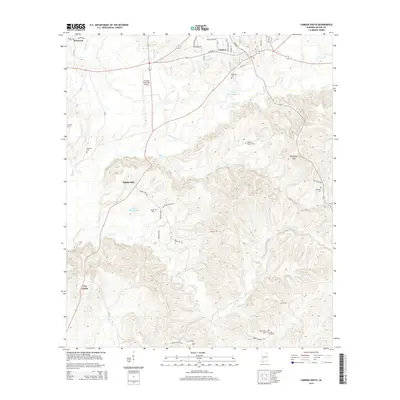
2014 Map of Camden South
USGS Topo · Published 2014About this map
Camden sits at a crossroads of Wilcox County, where the terrain breaks into the rolling elevations of the Grumpton Hills. This survey highlights a rural landscape defined by an exceptionally dense concentration of family and community burial grounds, providing significant data for genealogical research. Sites such as Powell Cem, Burford Cem, and Wheeler Quarter Cem are scattered across the countryside, often located near small settlements like Rockwest and Pebble Hill. The drainage patterns of the region are clearly defined by the branching systems of Pursley Cr and Gravel Cr, which carve through the wooded hills south of the town center. While the Camden Municipal Airport indicates modern connectivity, the surrounding road network, including names like Whiskey Run Rd and Majorie Sellers Rd, reflects deep-rooted local history.
Find a feature on this map
36 named features on this map. Tap any name to fly to it.
Don’t see what you’re looking for? This feature index may not catch every label — zoom into the map to look around manually.
Map Details
Editions of this 2014 Camden South Map
This is the sole edition of this map. No revisions or reprints were ever made.
Other maps of this area

1953 · Montgomery
USGS Topo · 1:250,000

1953 · Andalusia
USGS Topo · 1:250,000

1956 · Montgomery
USGS Topo · 1:250,000

1957 · Montgomery
USGS Topo · 1:250,000

1957 · Andalusia
USGS Topo · 1:250,000

1957 · Carlowville
USGS Topo · 1:62,500

1973 · Coy
USGS Topo · 1:24,000

1973 · Hybart
USGS Topo · 1:24,000

1973 · Camden South
USGS Topo · 1:24,000

1973 · Vredenburgh
USGS Topo · 1:24,000