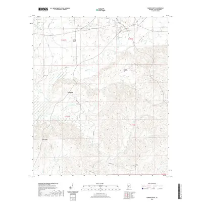
2020 Map of Camden South
USGS Topo · Published 2020About this map
The town of Camden and the Wilcox County Courthouse anchor the northern portion of this map, which transitions into the wooded and creek-carved terrain of central Alabama. South of the main settlement, Pebble Hill and Dry Forks represent small historic communities connected by a network of rural roads like Bo Ditley Rd and Range Rd. This landscape is defined by its numerous family and community burial grounds, including the McIntosh Cem, Magnolia Cem, and the Wheeler Quarter Cem located near the ridge lines.
Find a feature on this map
52 named features on this map. Tap any name to fly to it.
Don’t see what you’re looking for? This feature index may not catch every label — zoom into the map to look around manually.
Map Details
Editions of this 2020 Camden South Map
This is the sole edition of this map. No revisions or reprints were ever made.
Other maps of this area

1953 · Montgomery
USGS Topo · 1:250,000

1953 · Andalusia
USGS Topo · 1:250,000

1956 · Montgomery
USGS Topo · 1:250,000

1957 · Montgomery
USGS Topo · 1:250,000

1957 · Andalusia
USGS Topo · 1:250,000

1957 · Carlowville
USGS Topo · 1:62,500

1973 · Coy
USGS Topo · 1:24,000

1973 · Hybart
USGS Topo · 1:24,000

1973 · Camden South
USGS Topo · 1:24,000

1973 · Vredenburgh
USGS Topo · 1:24,000