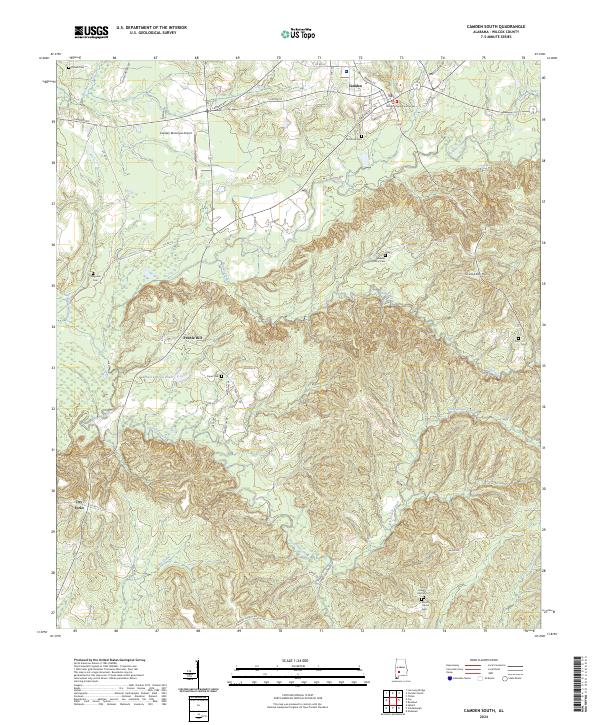
2024 Map of Camden South
USGS Topo · Published 2024About this map
The Wilcox County Courthouse serves as a central anchor for this part of Alabama, where the southern reaches of Camden transition into the rolling topography of the Grumpton Hills. This landscape is deeply etched by a network of waterways including Pursley Creek, Gravel Creek, and Shoal Creek, which have historically shaped the settlement patterns of rural communities like Pebble Hill and Dry Forks.
Find a feature on this map
52 named features on this map. Tap any name to fly to it.
Don’t see what you’re looking for? This feature index may not catch every label — zoom into the map to look around manually.
Map Details
Editions of this 2024 Camden South Map
This is the sole edition of this map. No revisions or reprints were ever made.
Other maps of this area

1953 · Montgomery
USGS Topo · 1:250,000

1953 · Andalusia
USGS Topo · 1:250,000

1956 · Montgomery
USGS Topo · 1:250,000

1957 · Montgomery
USGS Topo · 1:250,000

1957 · Andalusia
USGS Topo · 1:250,000

1957 · Carlowville
USGS Topo · 1:62,500

1973 · Coy
USGS Topo · 1:24,000

1973 · Hybart
USGS Topo · 1:24,000

1973 · Camden South
USGS Topo · 1:24,000

1973 · Vredenburgh
USGS Topo · 1:24,000