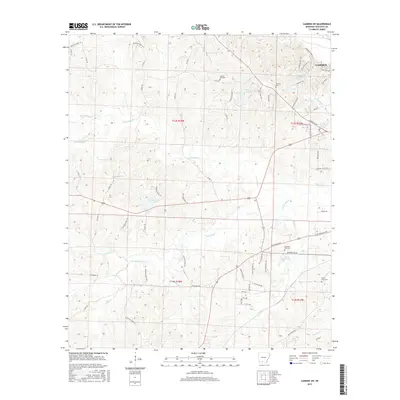
2017 Map of Camden SW
USGS Topo · Published 2017About this map
North Bayou and South Bayou weave through this landscape southwest of Camden, where the terrain is marked by numerous small water bodies and family-named landmarks. The area serves as a significant intersection of rural roads and land divisions, including t13s r18w and t14s r17w. Several cemeteries, such as Hawkins Cem and Pleasant Hill Cem, are situated near these local routes, providing important anchor points for genealogical research in Ouachita County.
Find a feature on this map
74 named features on this map. Tap any name to fly to it.
Don’t see what you’re looking for? This feature index may not catch every label — zoom into the map to look around manually.
Map Details
Editions of this 2017 Camden SW Map
This is the sole edition of this map. No revisions or reprints were ever made.
Other maps of this area

1901 · Gurdon
USGS Topo · 1:125,000

1903 · Camden
USGS Topo · 1:125,000

1951 · Camden
USGS Topo · 1:24,000

1953 · El Dorado
USGS Topo · 1:250,000

1957 · El Dorado
USGS Topo · 1:250,000

1958 · El Dorado
USGS Topo · 1:250,000

1960 · El Dorado
USGS Topo · 1:250,000

1962 · Louann
USGS Topo · 1:24,000

1962 · Buena Vista
USGS Topo · 1:24,000

1964 · Louann
USGS Topo · 1:62,500