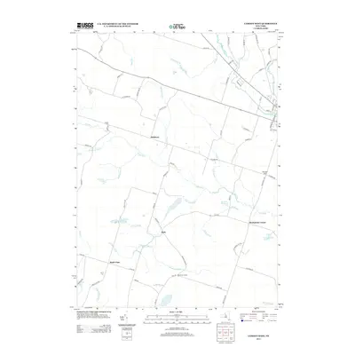
2013 Map of Camden West
USGS Topo · Published 2013About this map
Hillsboro and Elpis anchor this landscape of the upper West Branch of Fish Creek, where a complex network of brooks and ponds defines the rural character of Oneida County. The map details the transition from the lowlands of Maple Flats toward the rising ground of Preston Hill in the east. Local history and genealogy are supported by the inclusion of Lynch Cem and Temple Cem, while old crossroads like Thompsons Corner and Brockway Corners reveal the long-standing settlement patterns of the region.
Find a feature on this map
76 named features on this map. Tap any name to fly to it.
Don’t see what you’re looking for? This feature index may not catch every label — zoom into the map to look around manually.
Map Details
Editions of this 2013 Camden West Map
This is the sole edition of this map. No revisions or reprints were ever made.
Other maps of this area

1895 · Chittenango
USGS Topo · 1:62,500

1895 · Oneida
USGS Topo · 1:62,500

1898 · Oneida
USGS Topo · 1:62,500

1898 · Chittenango
USGS Topo · 1:62,500

1902 · Chittenango
USGS Topo · 1:62,500

1902 · Oneida
USGS Topo · 1:62,500

1905 · Taberg
USGS Topo · 1:62,500

1906 · Kasoag
USGS Topo · 1:62,500

1939 · Oneida
USGS Topo · 1:62,500

1941 · Cleveland
USGS Topo · 1:24,000