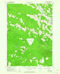
1960 Map of Camden West
USGS Topo · Published 1962About this map
Griffiss Air Force Base Camden Test Annex occupies a prominent clearing in the center of this rural landscape, marked by several towers and specialized infrastructure during the early Cold War. The surrounding terrain is a mix of dense woodland and small dairy farming hamlets, where the West Branch Fish Creek and Mad River converge near the village of Camden. Small settlements such as Hillsboro, Elpis, and Thompsons Corners anchor the local road network, often centered around family-named landmarks like Temple Ch or Lynch Cem.
Find a feature on this map
65 named features on this map. Tap any name to fly to it.
Don’t see what you’re looking for? This feature index may not catch every label — zoom into the map to look around manually.
Map Details
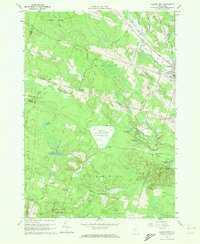
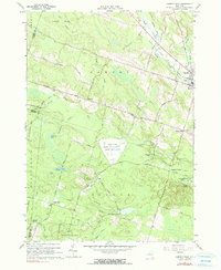
Editions of this 1960 Camden West Map
3 editions found
Other maps of this area

1895 · Chittenango
USGS Topo · 1:62,500

1895 · Oneida
USGS Topo · 1:62,500

1898 · Oneida
USGS Topo · 1:62,500

1898 · Chittenango
USGS Topo · 1:62,500

1902 · Chittenango
USGS Topo · 1:62,500

1902 · Oneida
USGS Topo · 1:62,500

1905 · Taberg
USGS Topo · 1:62,500

1906 · Kasoag
USGS Topo · 1:62,500

1939 · Oneida
USGS Topo · 1:62,500

1941 · Cleveland
USGS Topo · 1:24,000