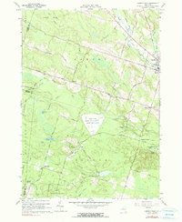
1960 Map of Camden West
USGS Topo · Published 1990About this map
The Griffiss Air Force Base Camden Test Annex stands as a significant military footprint within this Central New York landscape, situated amidst the rural townships of Vienna and Camden. The map reveals a transition from the village center of Camden in the northeast to the sprawling State Reforestation Area in the south. This area is defined by its water systems, where Fish Creek and the Mad River converge near the village, while smaller brooks like Dutch Trout Brook and Gorton Brook drain the wooded uplands. Settlement patterns are focused around small crossroads and family-named locales such as Hillsboro, Thompsons Corners, and Preston Hill. Rural infrastructure is well-documented, including early educational sites like School No 4 and Sch No 12, and several small burial grounds such as Temple Cem and Lynch Cem. An Old Railroad Grade north of Fish Creek points to the region's evolving transportation history.
Find a feature on this map
65 named features on this map. Tap any name to fly to it.
Don’t see what you’re looking for? This feature index may not catch every label — zoom into the map to look around manually.
Map Details
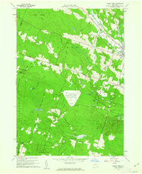
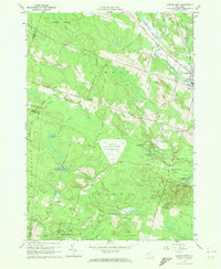
Editions of this 1960 Camden West Map
3 editions found
Other maps of this area

1895 · Chittenango
USGS Topo · 1:62,500

1895 · Oneida
USGS Topo · 1:62,500

1898 · Oneida
USGS Topo · 1:62,500

1898 · Chittenango
USGS Topo · 1:62,500

1902 · Chittenango
USGS Topo · 1:62,500

1902 · Oneida
USGS Topo · 1:62,500

1905 · Taberg
USGS Topo · 1:62,500

1906 · Kasoag
USGS Topo · 1:62,500

1939 · Oneida
USGS Topo · 1:62,500

1941 · Cleveland
USGS Topo · 1:24,000