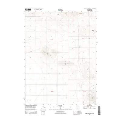
2014 Map of Camels Back Ridge NE
USGS Topo · Published 2014About this map
The northern edge of the Cedar Mountains and the isolated peaks of the Great Salt Lake Desert define this 2014 survey. The settlement of Dugway sits at the northeastern corner of the map, served by W Knight St and Carr Cir. The landscape is dominated by scattered high points including Little Granite Mtn, Little Davis Mtn, and the southern Davis Mtn, which rise above the desert floor and the Flat Hills. These formations suggest a rugged geography where travel is dictated by the terrain, evidenced by the limited road network comprising Stark Rd and Davis Mountain Rd. The drainage of Government Cr cuts through the southwestern corner, providing a rare hydrological feature in this arid environment. The map details the Township and Range boundaries, such as t7s r9w and t6s r8w, which are essential for property research and historical land use studies in Tooele County.
Find a feature on this map
18 named features on this map. Tap any name to fly to it.
Don’t see what you’re looking for? This feature index may not catch every label — zoom into the map to look around manually.
Map Details
Editions of this 2014 Camels Back Ridge NE Map
This is the sole edition of this map. No revisions or reprints were ever made.
Other maps of this area

1885 · Tooele Valley
USGS Topo · 1:250,000

1953 · Tooele
USGS Topo · 1:250,000

1954 · Camels Back Ridge NW
USGS Topo · 1:24,000

1955 · Tabbys Peak SE
USGS Topo · 1:24,000

1955 · Camels Back Ridge SW
USGS Topo · 1:24,000

1955 · Simpson Springs
USGS Topo · 1:24,000

1955 · Indian Peaks
USGS Topo · 1:24,000

1955 · Camels Back Ridge NE
USGS Topo · 1:24,000

1955 · Davis Knolls
USGS Topo · 1:24,000

1955 · Deseret Peak
USGS Topo · 1:62,500